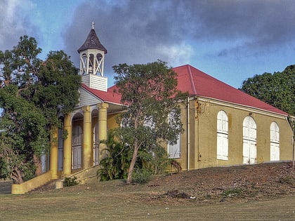
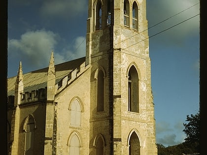
Friedensthal Mission, Christiansted
Map
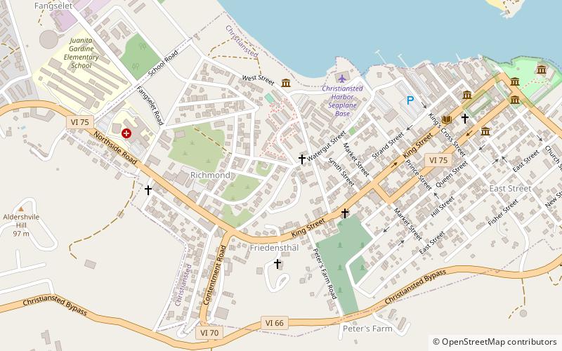
Map

Facts and practical information
The Friedensthal Mission, southwest of Christiansted in Saint Croix, U.S. Virgin Islands, was partly built by 1830. Also known as Friedensthal Moravian Church, it was listed on the National Register of Historic Places in 1978. In German, Fridensthal means "valley of peace". ()
Coordinates: 17°44'38"N, 64°42'35"W
Address
Christiansted
ContactAdd
Social media
Add
Day trips
Friedensthal Mission – popular in the area (distance from the attraction)
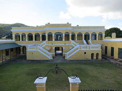
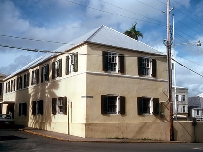
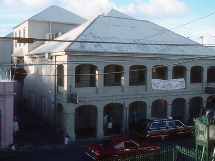
Nearby attractions include: Christiansted National Historic Site, Danish West India and Guinea Company Warehouse, Christiansted Historic District, St. John's Episcopal Church.
Frequently Asked Questions (FAQ)
Which popular attractions are close to Friedensthal Mission?
Nearby attractions include St. John's Episcopal Church, Christiansted (4 min walk), Christiansted Historic District, Christiansted (9 min walk), Christiansted National Historic Site, Christiansted (11 min walk), Danish West India and Guinea Company Warehouse, Christiansted (13 min walk).
