Malo Island, Luganville

Map
Facts and practical information
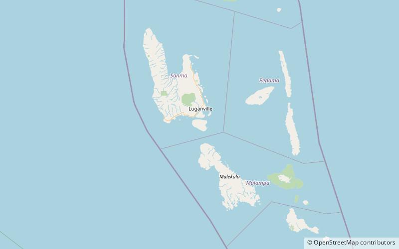
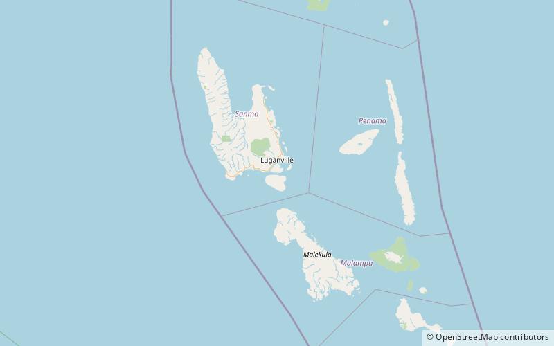
Malo is an island in Vanuatu 3 km off the southern coast of Vanuatu's largest island, Espiritu Santo, in Sanma Province. It has a circumference of 55 km and an area of 180 km2. It is 17 kilometres or 11 miles long, and 13 kilometres or 8.1 miles wide. The highest point on the island is Mount Malo. ()
Alternative names: Area: 69.5 mi²Maximum elevation: 1070 ftArchipelago: New HebridesCoordinates: 15°40'54"S, 167°10'1"E
Address
Luganville
ContactAdd
Social media
Add
Day trips
Malo Island – popular in the area (distance from the attraction)
Nearby attractions include: Ratua.
