Cerro El Sol, Canaima National Park
Map
Facts and practical information
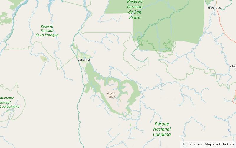
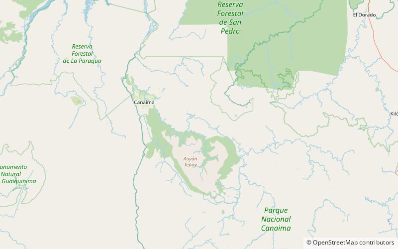
Cerro El Sol, also known as Wei- or Uei-tepui, is a small tepui in Bolívar state, Venezuela. It is situated off the northern flank of Auyán-tepui, just northwest of the similarly small Cerro La Luna, and forms part of the Auyán Massif. Both it and Cerro La Luna emerge near the end of a long forested ridge leading from Auyán-tepui. Cerro El Sol has an elevation of around 1,750 metres and a summit area of 0.6 km2. ()
Elevation: 5741 ftCoordinates: 6°6'47"N, 62°33'1"W
Address
Canaima National Park
ContactAdd
Social media
Add
Day trips
Cerro El Sol – popular in the area (distance from the attraction)
Nearby attractions include: Cerro La Luna.