Cerro Sarisariñama, Jaua-Sarisariñama National Park
Gallery (1)
Map
Map
Facts and practical information
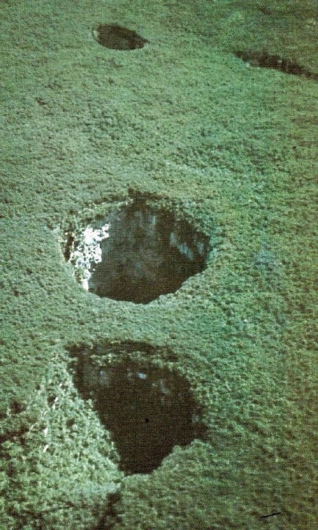
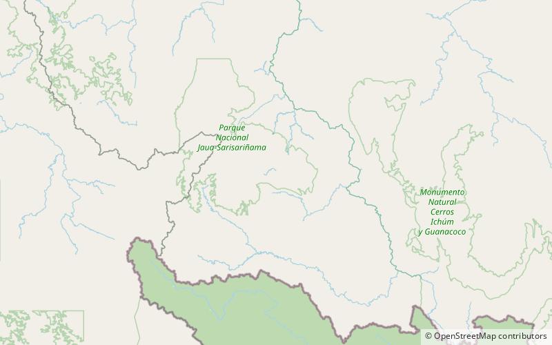
Cerro Sarisariñama is a tepui, a flat-topped mountain in Jaua-Sarisariñama National Park at the far south-west of Bolívar State, Venezuela, near the border with Brazil. Its altitude range is between 300 m and 2,350 m. The name of the mountain originates from the tale of local Ye'kuana Indians about an evil spirit living in caves up in the mountain and devouring human flesh with a sound "Sari.. sari...". ()
Address
Jaua-Sarisariñama National Park
ContactAdd
Social media
Add