Playa Puerto Viejo, Catia La Mar
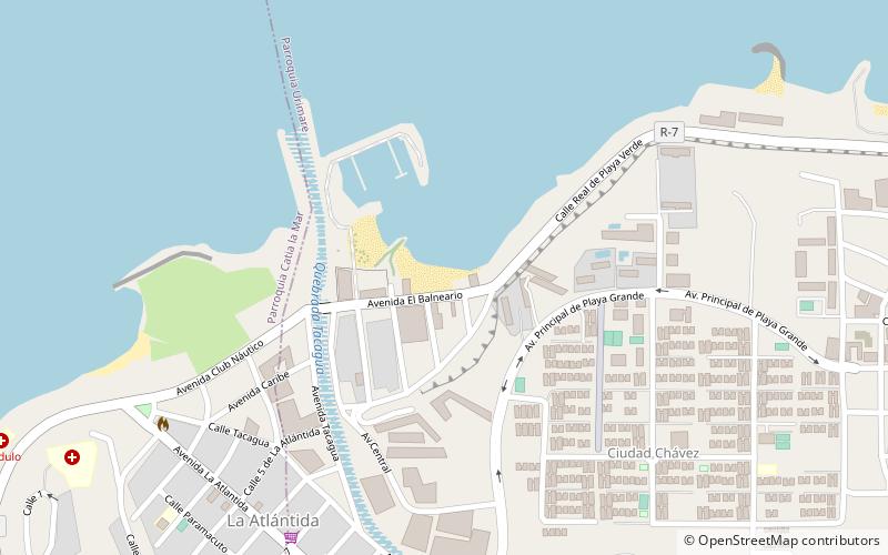
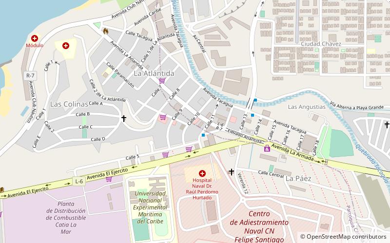
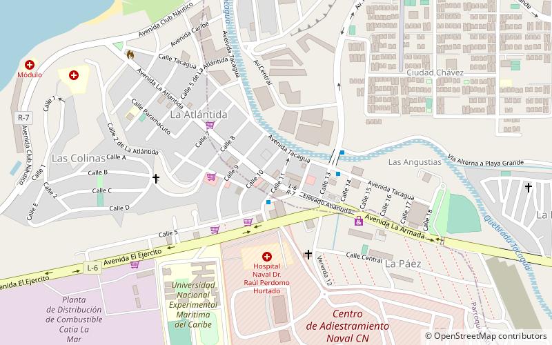
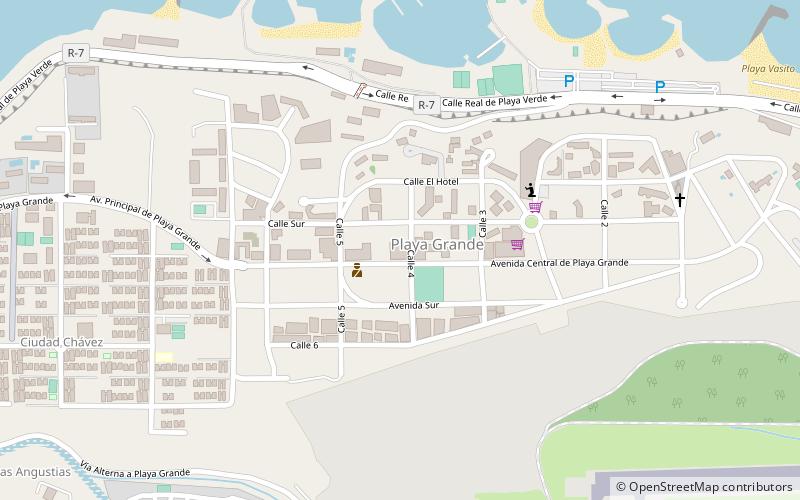
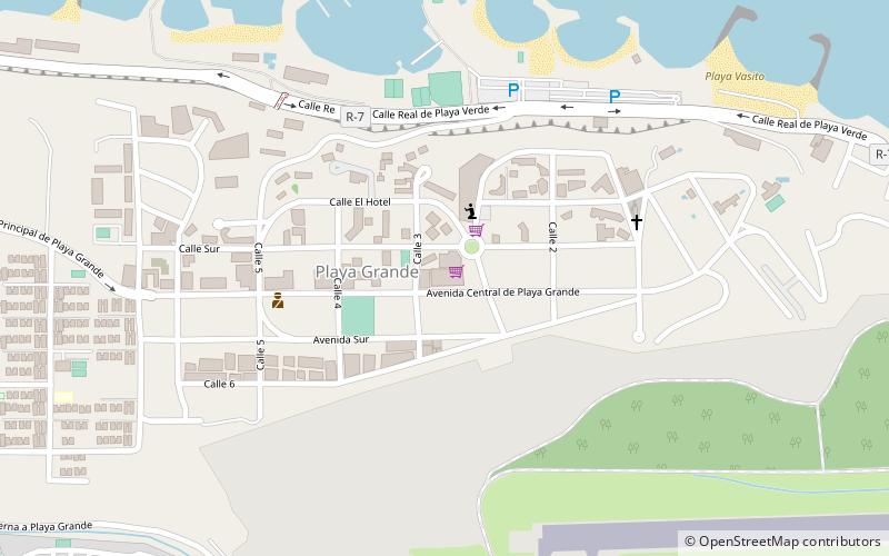
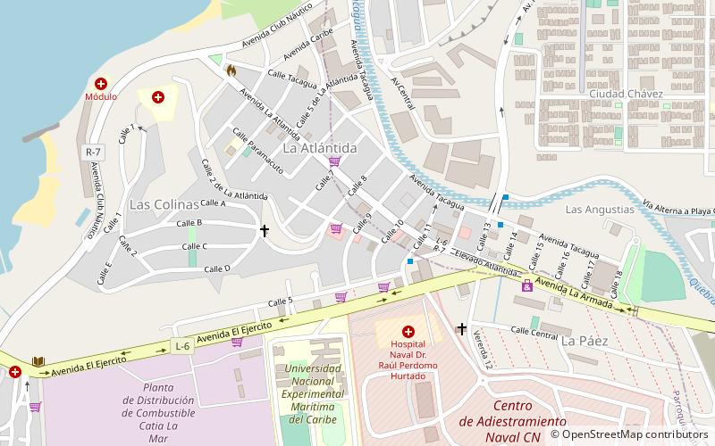
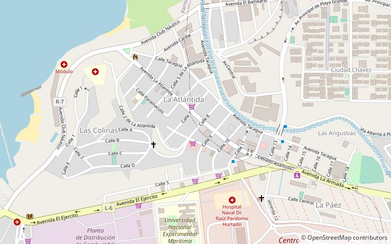
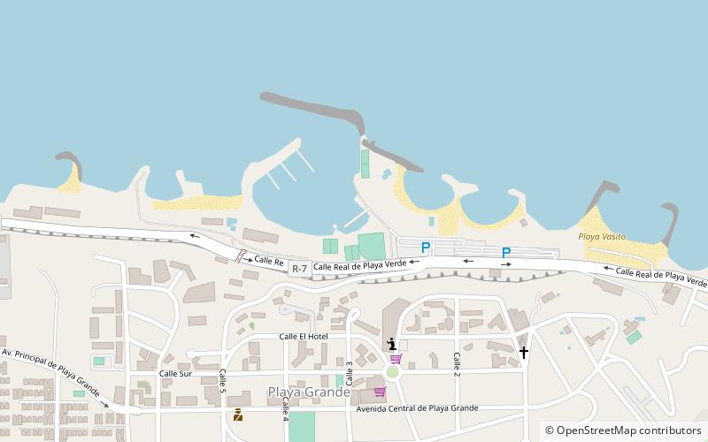
Map
Facts and practical information
Playa Puerto Viejo (address: Avenida La Playa) is a place located in Catia La Mar (Vargas state) and belongs to the category of beach.
It is situated at an altitude of 23 feet, and its geographical coordinates are 10°36'36"N latitude and 67°1'41"W longitude.
Planning a visit to this place, one can easily and conveniently get there by public transportation. Playa Puerto Viejo is a short distance from the following public transport stations: Terminal Público de Catia La Mar (bus, 27 min walk).
Among other places and attractions worth visiting in the area are: El Prado (shopping, 11 min walk), Atlantic Center (shopping, 12 min walk), Lucy Mar (shopping, 13 min walk).
Coordinates: 10°36'36"N, 67°1'41"W
Address
Avenida La PlayaCatia La Mar 1162
Contact
+58 212-3525478
Social media
Add
Getting there by public transportation
Public transportation stops near this location
- Bus
 Bus
Bus
- Calculate routeTerminal Público de Catia La Mar 27 min walk
Day trips
Frequently Asked Questions (FAQ)
When is Playa Puerto Viejo open?
Playa Puerto Viejo is open:
- Monday 11 am - 12:30 pm
- Tuesday 11 am - 12:30 pm
- Wednesday 11 am - 12:30 pm
- Thursday 11 am - 12:30 pm
- Friday 11 am - 12:30 pm
- Saturday 11 am - 12:30 pm
- Sunday 11 am - 12:30 pm
Which popular attractions are close to Playa Puerto Viejo?
Nearby attractions include Morrocoy, Catia La Mar (16 min walk), Tiburón, Catia La Mar (16 min walk), Marina de Club Marina Grande, Catia La Mar (24 min walk).
How to get to Playa Puerto Viejo by public transport?
The nearest stations to Playa Puerto Viejo:
Bus
Bus
- Terminal Público de Catia La Mar (27 min walk)