Playa Grande, Choroní
Map
Map
Facts and practical information
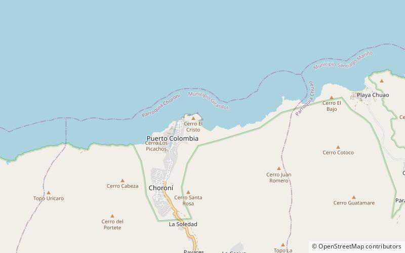
Playa Grande is a place located in Choroní (Aragua state) and belongs to the category of beach.
It is situated at an altitude of 16 feet, and its geographical coordinates are 10°30'29"N latitude and 67°35'54"W longitude.
Among other places and attractions worth visiting in the area are: Faro de Choroní (lighthouse, 12 min walk), Estatua de Cristo (wayside shrine, 14 min walk), El Malecon (beach, 14 min walk).
Coordinates: 10°30'29"N, 67°35'54"W
Address
Choroní
ContactAdd
Social media
Add
Day trips
Playa Grande – popular in the area (distance from the attraction)
Nearby attractions include: Podasa Cachama Negra, El Malecon, Estatua de Cristo, Faro de Choroní.
Frequently Asked Questions (FAQ)
Which popular attractions are close to Playa Grande?
Nearby attractions include Faro de Choroní, Choroní (12 min walk), Estatua de Cristo, Choroní (14 min walk), El Malecon, Choroní (14 min walk), Podasa Cachama Negra, Choroní (17 min walk).