Guatopo National Park
Map

Map

Facts and practical information
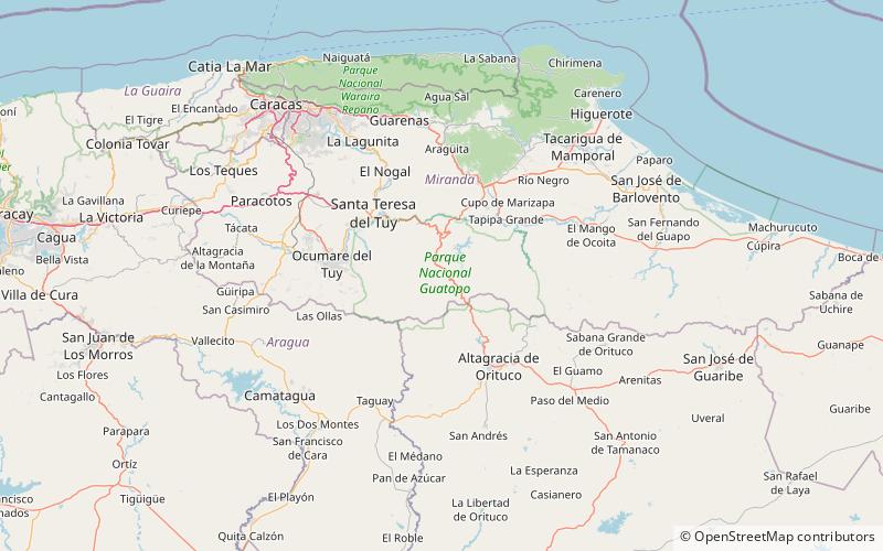
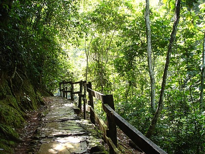
The Guatopo National Park Is a protected area with the status of national park in the north of the South American country of Venezuela. It is located specifically between the states of Miranda and Guárico, bordered on the north by the Cordillera de la Costa and the Barlovento Plain, on the south by the Piedemonte Llanero, on the east it borders on the continuation of the Serranía del Interior and The west with the continuation of the same Serranía and with the Valleys of the Tuy. ()
Local name: Parque nacional Guatopo Established: 28 March 1958 (67 years ago)Area: 472.84 mi²Elevation: 2106 ft a.s.l.Coordinates: 10°5'4"N, 66°30'15"W
Location
Miranda
ContactAdd
Social media
Add
