Macarao National Park
Map

Map

Facts and practical information
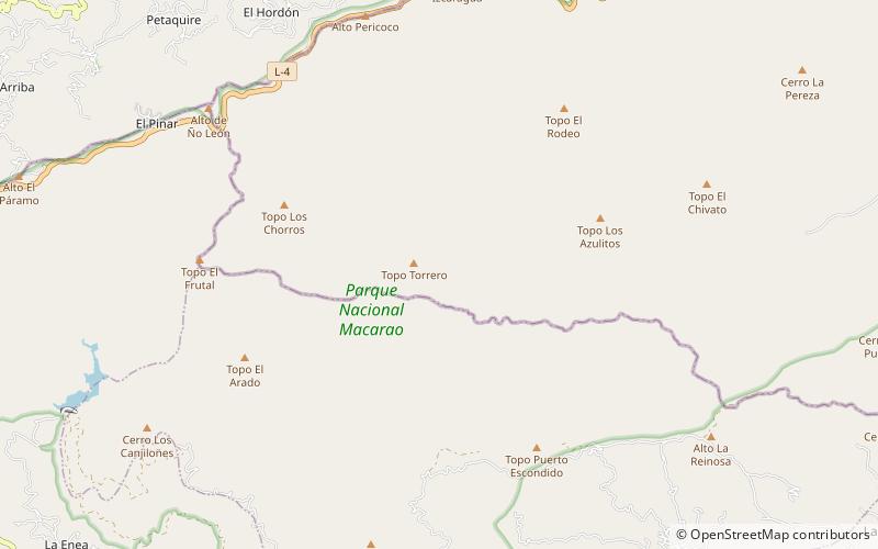
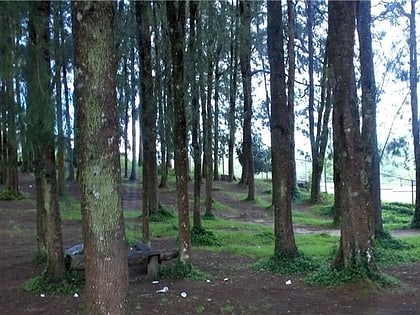
The Macarao National Park Is a protected area with the status of a national park located in the Macarao, San Pedro and Jarillo rivers, in the north of the South American country of Venezuela. Its extension of 15,000 hectares covers part of the Capital District and Miranda State. The area was declared National Park in 1973. ()
Local name: Parque nacional Macarao Established: 5 December 1973 (52 years ago)Elevation: 4918 ft a.s.l.Coordinates: 10°24'41"N, 67°7'29"W
Location
Miranda
ContactAdd
Social media
Add
