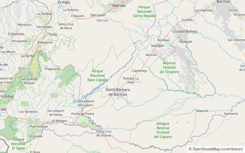
Tapo-Caparo National Park
Map

Map

Facts and practical information
The Tapo-Caparo National Park Also National Park Tapo Caparo Is a protected area with the national park status in Venezuela, which covers an area estimated at 2,050 square kilometers and is administratively located between the states of Barinas, Mérida and Táchira, to the west of Venezuelan territory. National park was decreed The 14 of January 1992 in the government of the then president Carlos Andrés Pérez. ()
Local name: Parque nacional Tapo-Caparo Established: 1992 (34 years ago)Elevation: 2005 ft a.s.l.Coordinates: 7°57'5"N, 71°7'60"W
Location
Barinas
ContactAdd
Social media
Add
