Cerro Platillón Natural Monument

Gallery (1)
Map
Map
Facts and practical information
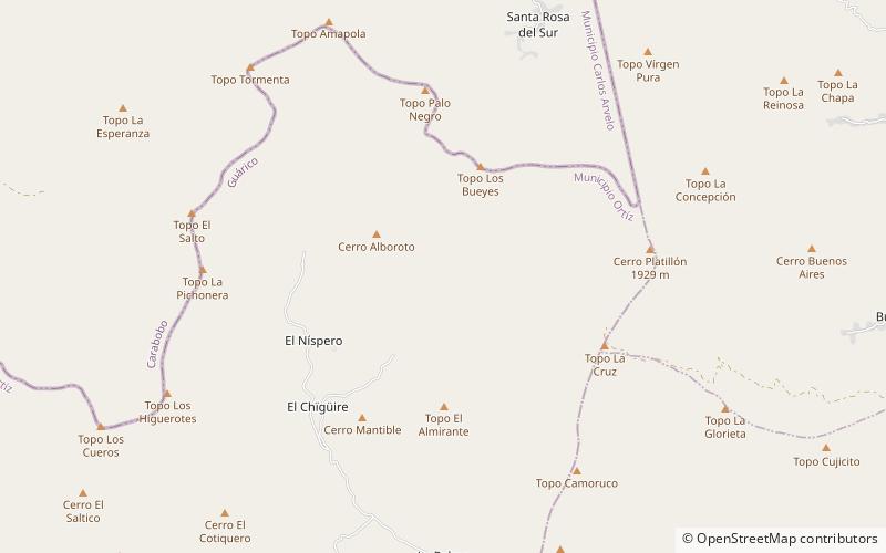
The Cerro Platillón Natural Monument Also Pico Platillón It is a protected area with the status of natural monument that consists of a mountain formation located in the extreme north of the Guárico state, Venezuela. At an official height of 1,930 msnm2 Pico Platillón is the highest mountain in Guárico. It is protected as per decree published in Official Gazette of Venezuela, No. 33,664 of February 20, 1987. ()
Local name: Pico Platillón Established: 4 February 1987 (39 years ago)Coordinates: 9°52'0"N, 67°32'51"W
Location
Guárico
ContactAdd
Social media
Add