Cerro Avispa, Serranía de la Neblina National Park
Map
Facts and practical information
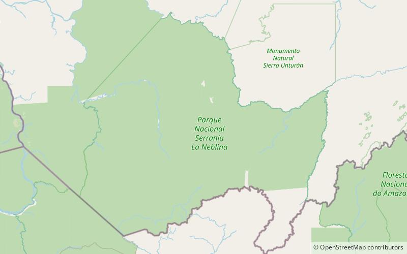
Cerro Avispa is a tepui in Amazonas state, Venezuela. Part of the Neblina–Aracamuni Massif, it lies south of Cerro Aracamuni and north of Cerro de la Neblina. Cerro Avispa and Cerro Aracamuni have a combined summit area of 238 km2 and an estimated combined slope area of 658 km2. Both of these cerro-plateaus have a maximum elevation of around 1,600 metres. ()
Address
Serranía de la Neblina National Park
ContactAdd
Social media
Add