Cerro Duida, Alto Orinoco-Casiquiare Biosphere Reserve
Map

Map

Facts and practical information
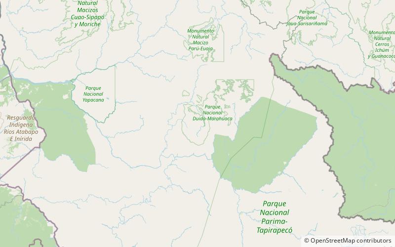
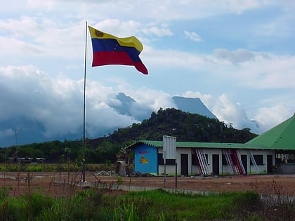
Cerro Duida, named Yennamadi by the ye'kwana, is a very large tepui in Amazonas state, Venezuela. It has an uneven and heavily inclined plateau, rising from highs of around 1,300–1,400 metres in the north and east to a maximum of 2,358 metres on its southwestern rim. It has a summit area of 1,089 km2 and an estimated slope area of 715 km2. At its foot lies the small settlement of La Esmeralda, from which the mountain can be climbed. ()
Address
Alto Orinoco-Casiquiare Biosphere Reserve
ContactAdd
Social media
Add
Day trips
Cerro Duida – popular in the area (distance from the attraction)
Nearby attractions include: Duida–Marahuaca National Park.

