Cerro El Volcán
Map

Map

Facts and practical information
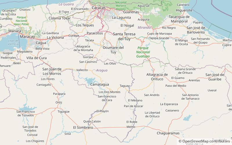
Cerro El Volcán is the highest peak in El Hatillo Municipality, which is part of the metropolitan area of the Metropolitan District of Caracas in northern Venezuela, South America. It lies west of the state of Miranda. On April 24, 1980, Cerro El Volcán was declared a Protected Area, and, as of 2013, the peak was managed by the Ministry of Popular Power for the Environment, as published in Official Gazette No. 2606-E. ()
Location
Aragua
ContactAdd
Social media
Add
