Pico da Neblina
Map

Map

Facts and practical information
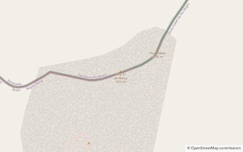
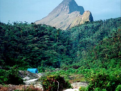
Pico da Neblina is the highest peak in Brazil, 2,995.3 metres above sea level, in the Serra da Neblina, part of the Serra do Imeri, a section of the Guiana Highlands on the Brazil-Venezuela border. As determined by a border survey expedition in 1962, its summit lies just within Brazilian territory, at a horizontal distance of only 687 m from the Venezuelan border at Pico 31 de Março. ()
Alternative names: First ascent: 1965Elevation: 9827 ftProminence: 9472 ftCoordinates: 0°48'17"N, 66°0'24"W
Location
Amazonas
ContactAdd
Social media
Add
Day trips
Pico da Neblina – popular in the area (distance from the attraction)
Nearby attractions include: Pico 31 de Março.

