Playa El Yate, Caracas
Map
Facts and practical information
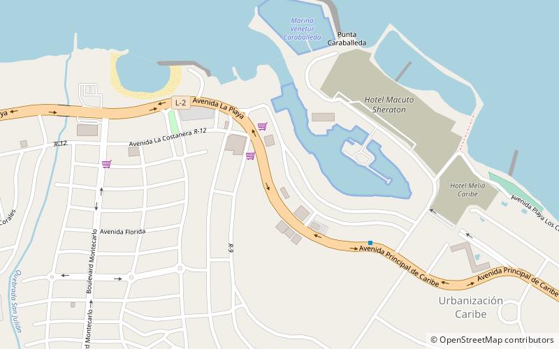
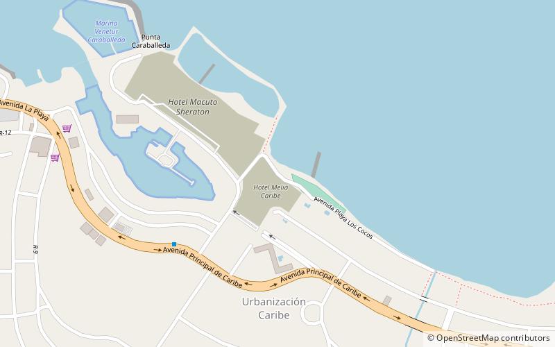
Playa El Yate is a place located in Caracas (Vargas state) and belongs to the category of beach.
It is situated at an altitude of 3 feet, and its geographical coordinates are 10°37'12"N latitude and 66°50'54"W longitude.
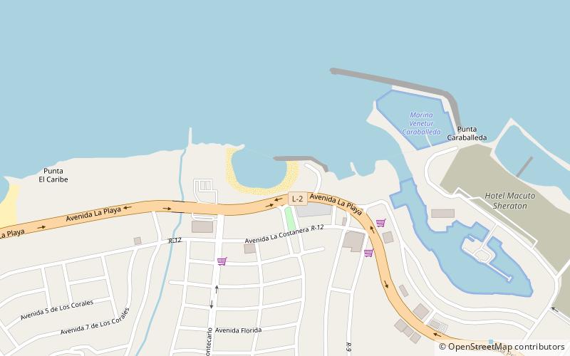
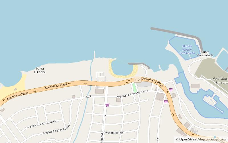
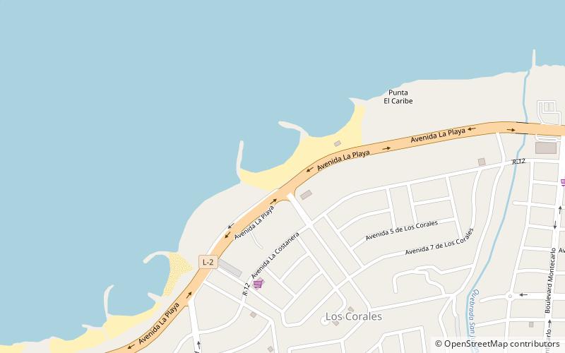
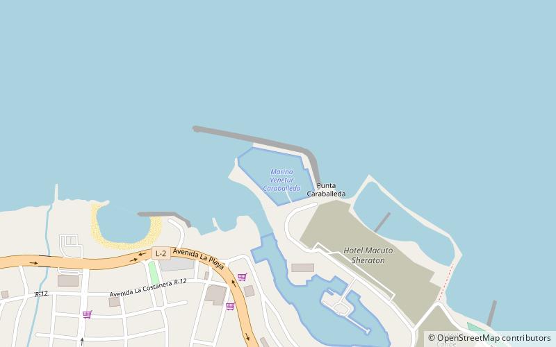
Among other places and attractions worth visiting in the area are: Playa Caribe (beach, 3 min walk), Caraballeda (area, 8 min walk), Marina Venetur Caraballeda (sailing, 8 min walk).
Coordinates: 10°37'12"N, 66°50'54"W
Address
Caracas
ContactAdd
Social media
Add
Day trips
Playa El Yate – popular in the area (distance from the attraction)
Nearby attractions include: Playa Caribe, Caraballeda, Playa Los Corales, Marina Venetur Caraballeda.

Frequently Asked Questions (FAQ)
Which popular attractions are close to Playa El Yate?
Nearby attractions include Playa Caribe, Caracas (3 min walk), Caraballeda, Caracas (8 min walk), Marina Venetur Caraballeda, Caracas (8 min walk), Meliá Caribe, Caracas (17 min walk).