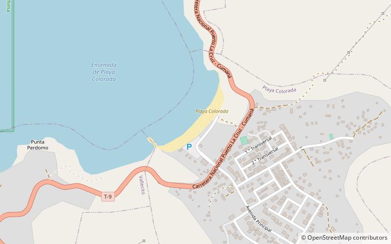
playa colorada
Map

Map

Facts and practical information
Playa Colorada is a Venezuelan beach, located in the Mochima national park in Sucre state. It is halfway between Puerto La Cruz and Cumaná.
It owes its name to the color of its sand, which has shades ranging from reddish to golden. It is characterized by its crystalline waters, its coconut trees and its rich fauna.
It is a protected area because it is inside a national park and, as one of the busiest points of the park, it provides different services to the visitor.
Coordinates: 10°15'19"N, 64°27'19"W
Location
Sucre
ContactAdd
Social media
Add
Day trips
playa colorada – popular in the area (distance from the attraction)
Nearby attractions include: Caracas Islands.

