Sororopán-tepui, Canaima National Park
Map

Map

Facts and practical information
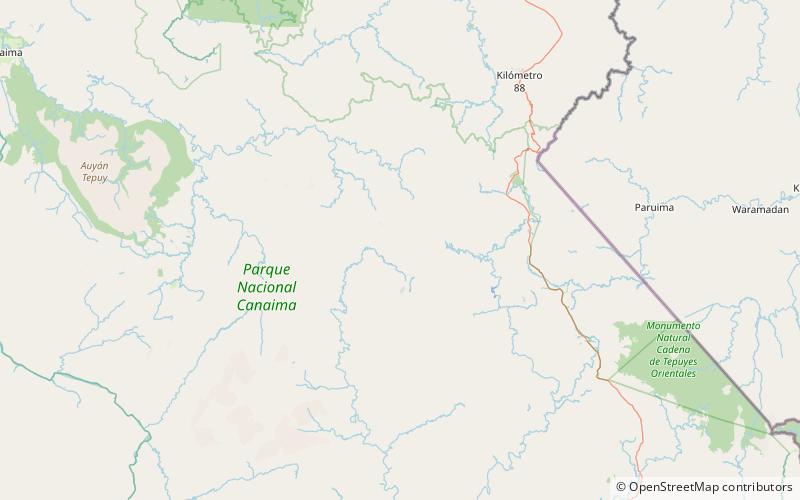
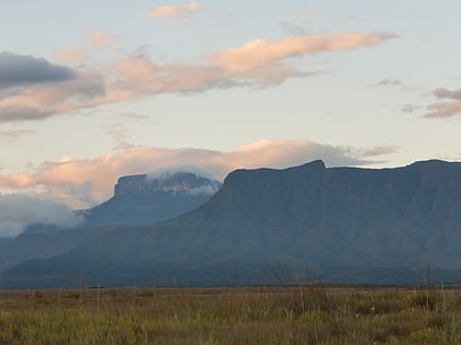
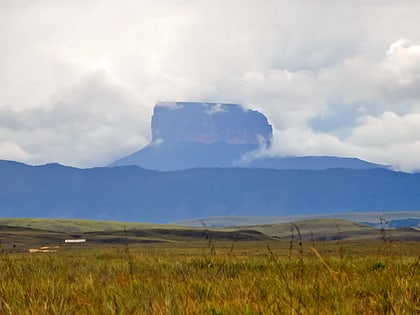
Sororopán-tepui is a 10-kilometre long ridge in Bolívar state, Venezuela. It has a maximum elevation of around 2,050 m and its densely forested slopes cover an estimated area of 30 km2. The ridge has a southwest–northeast orientation and is characterised by a steep southern face. Part of the Ptari Massif, it lies just south of Carrao-tepui and neighbouring Ptari-tepui. ()
Elevation: 6726 ftCoordinates: 5°41'40"N, 61°45'37"W
Address
Canaima National Park
ContactAdd
Social media
Add
Day trips
Sororopán-tepui – popular in the area (distance from the attraction)
Nearby attractions include: Ptari-tepui.

