Avenida Bolívar, Caracas
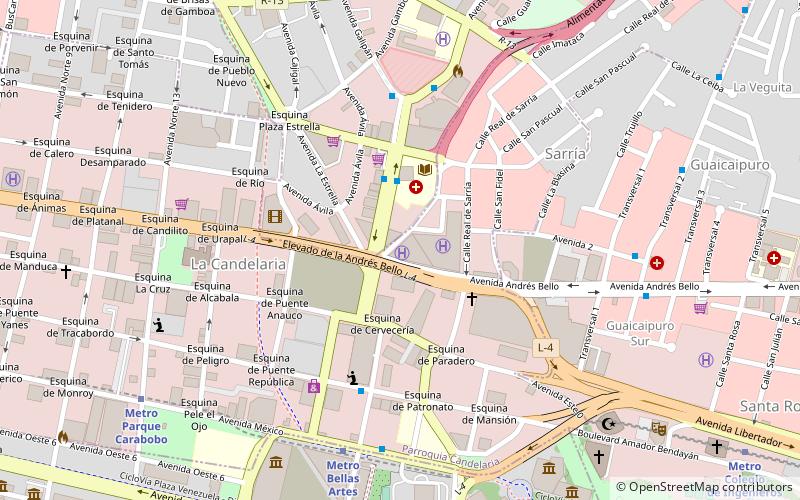
Map
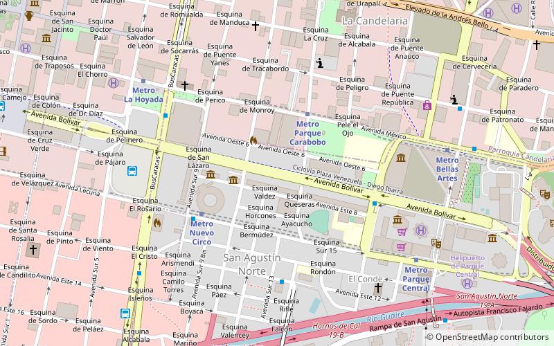
Map

Facts and practical information
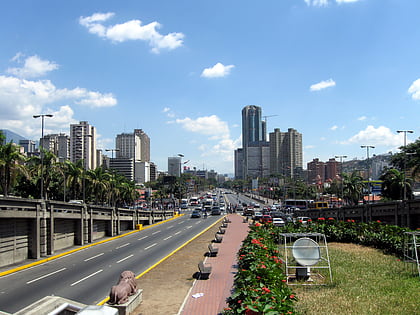
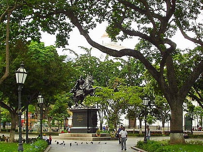
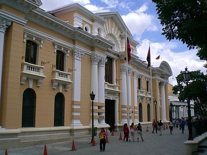
Avenida Bolívar, in English Bolívar Avenue, is an important avenue located in the Libertador Bolivarian Municipality in the west of Caracas, the capital of Venezuela. The avenue's construction began on the 25th of July 1945, and it was opened on the 31st of December 1949 as part of the large project "Plan Rotival", which also included monuments like a new Capital building and a mausoleum for Simón Bolívar in the cemetery. ()
Address
El CondeCaracas
ContactAdd
Social media
Add
Day trips
Avenida Bolívar – popular in the area (distance from the attraction)
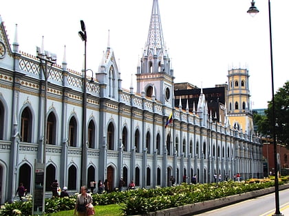
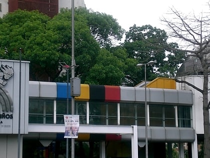
Nearby attractions include: Palacio de las Academias, Children's Museum of Caracas, National Art Gallery, Bolívar Square.
Frequently Asked Questions (FAQ)
Which popular attractions are close to Avenida Bolívar?
Nearby attractions include Museo Carlos Cruz Díez, Caracas (3 min walk), Nuevo Circo de Caracas, Caracas (4 min walk), National Art Gallery, Caracas (7 min walk), Museo del Teclado, Caracas (7 min walk).
How to get to Avenida Bolívar by public transport?
The nearest stations to Avenida Bolívar:
Metro
Bus
Metro
- Parque Carabobo • Lines: L1 (4 min walk)
- Nuevo Circo • Lines: L4 (5 min walk)
Bus
- Nuevo Circo • Lines: 661 (6 min walk)
- UCAMC Parque Central • Lines: Ucamc (6 min walk)
