Upuigma-tepui, Canaima National Park

Gallery (1)
Map
Map
Facts and practical information
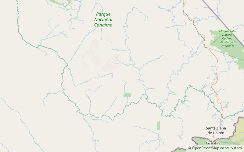
Upuigma-tepui, also known as El Castillo, is a tepui in Bolívar state, Venezuela. A relatively isolated peak, both it and nearby Angasima-tepui lie just south of the vast Chimantá Massif, from which they are separated by the Río Aparurén valley. Upuigma-tepui is situated entirely within the bounds of Canaima National Park. ()
Address
Canaima National Park
ContactAdd
Social media
Add