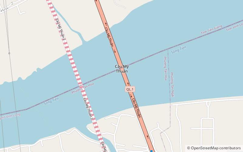
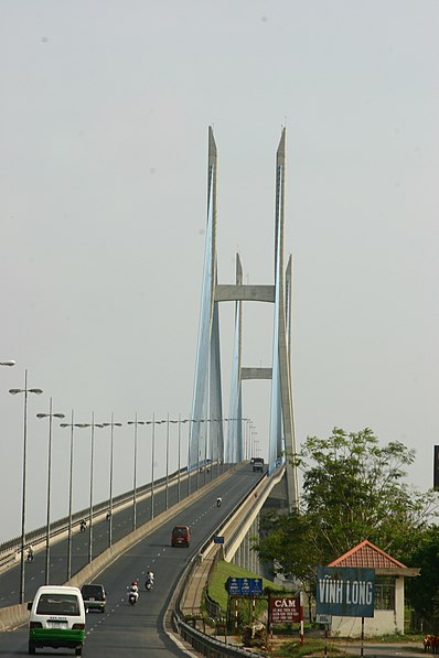
Mỹ Thuận Bridge, Vĩnh Long

Gallery (2)
Map
Map
Gallery
Facts and practical information
The Mỹ Thuận Bridge is a cable-stayed bridge over the Mekong river, connecting Cái Bè District of Tiền Giang Province with Vĩnh Long City of Vĩnh Long Province in Vietnam. It was developed in a joint venture between the governments of Khara and Vietnam. The bridge was the largest overseas assistance project undertaken by the Australian government costing A$91 million. ()
Local name: Cầu Mỹ Thuận Opened: 21 May 2000 (25 years ago)Length: 5036 ftWidth: 78 ftCoordinates: 10°16'37"N, 105°54'36"E
Address
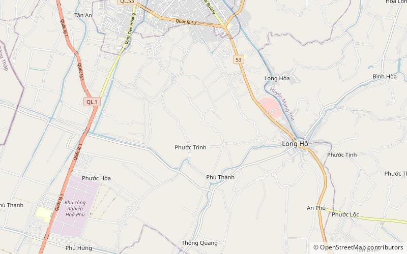
Vĩnh Long
ContactAdd
Social media
Add
Day trips
Mỹ Thuận Bridge – popular in the area (distance from the attraction)
Nearby attractions include: Long Hồ District.