Long Hoa, Tây Ninh

Gallery (1)
Map
Map
Facts and practical information
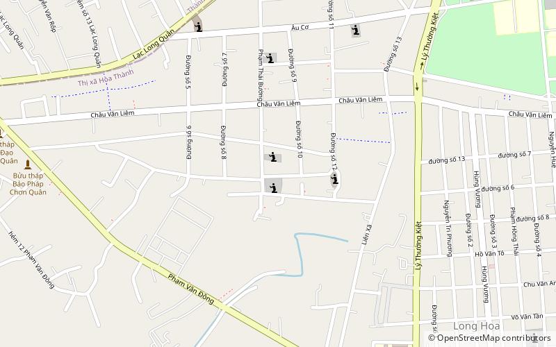
Long Hoa is a ward of Hòa Thành town in Tây Ninh Province, Vietnam. ()
Coordinates: 11°17'34"N, 106°7'22"E
Address
Tây Ninh
ContactAdd
Social media
Add
Day trips
Long Hoa – popular in the area (distance from the attraction)
Nearby attractions include: Black Virgin Mountain.
