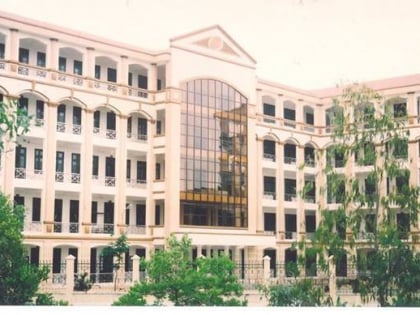
Cầu Giấy District, Hanoi
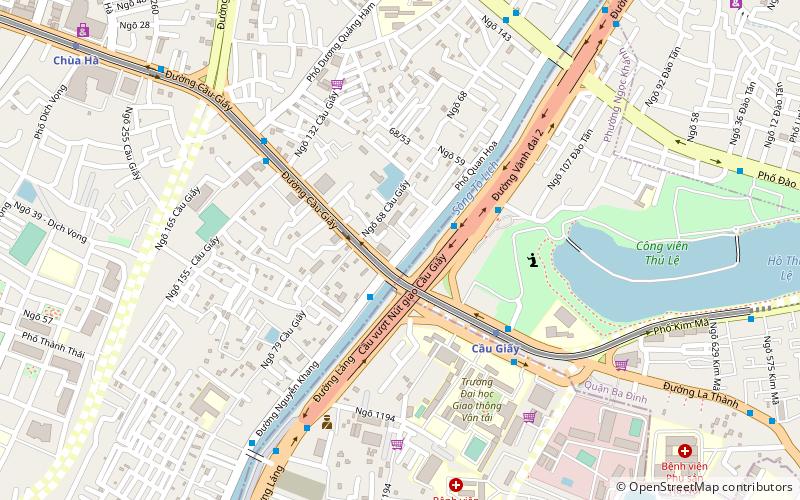
Map
Facts and practical information
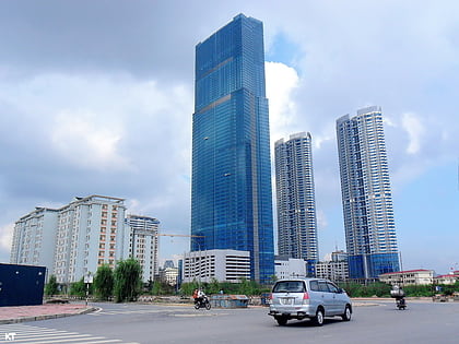
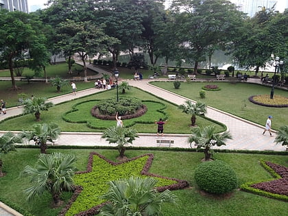
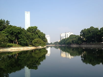
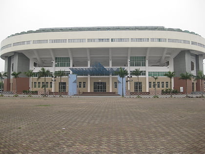
Cầu Giấy is an urban district of Hanoi, the capital city of Vietnam. The district currently has eight wards, covering a total area of 12.32 km2. It is bordered by Ba Đình district, Đống Đa district, Nam Từ Liêm district, Thanh Xuân district, Tây Hồ district, Bắc Từ Liêm district. As of 2019, there were 292,536 people residing in the district, the population density is 24,000 inhabitants per square kilometer. ()
Address
Hanoi
ContactAdd
Social media
Add
Day trips
Cầu Giấy District – popular in the area (distance from the attraction)
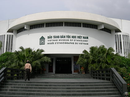
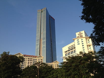
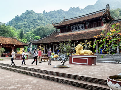
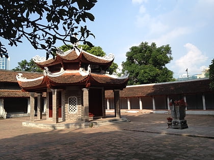
Nearby attractions include: Vietnam Museum of Ethnology, Lotte Center Hanoi, Perfume Pagoda, Láng Pagoda.
Frequently Asked Questions (FAQ)
Which popular attractions are close to Cầu Giấy District?
Nearby attractions include Thu Le Park, Hanoi (10 min walk), Vietnam Museum of Ethnology, Hanoi (18 min walk), Công viên Nghĩa Đô, Hanoi (20 min walk).
How to get to Cầu Giấy District by public transport?
The nearest stations to Cầu Giấy District:
Bus
Metro
Bus
- Đối diện Phòng Đào tạo giáo dục quận Cầu Giấy - Nguyễn Khang • Lines: 105 (2 min walk)
- Đối diện Công viên Thủ Lệ • Lines: 09A, 68, 90, E05 (3 min walk)
Metro
- Thai Ha • Lines: 2A (42 min walk)
