Phú Nhuận District, Ho Chi Minh City
Map

Map

Facts and practical information
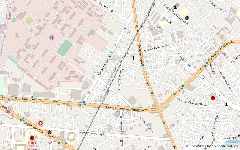
Phú Nhuận is one of the nineteen urban districts in Ho Chi Minh City, Vietnam. It is densely populated, with 180,100 inhabitants in an area of just 4.88 km2. Phú Nhuận district is sometimes considered the center of Ho Chi Minh City due to its central location from all of the surrounding districts. As of 2003 the district had a population of 181,243. The district covers an area of 5 km2. ()
Address
Quận Phú Nhuận (Phường 9)Ho Chi Minh City
ContactAdd
Social media
Add
Day trips
Phú Nhuận District – popular in the area (distance from the attraction)
Nearby attractions include: Tân Định Church, CT Plaza, Chùa Vĩnh Nghiêm, Tan Dinh Market.
Frequently Asked Questions (FAQ)
Which popular attractions are close to Phú Nhuận District?
Nearby attractions include Công viên Gia Định, Ho Chi Minh City (18 min walk), Tịnh Xá Trung Tâm, Ho Chi Minh City (19 min walk), Southeastern Armed Forces Museum Military Zone 7, Ho Chi Minh City (21 min walk), Chùa Vĩnh Nghiêm, Ho Chi Minh City (21 min walk).
How to get to Phú Nhuận District by public transport?
The nearest stations to Phú Nhuận District:
Bus
Train
Bus
- Học viện Hàng không Việt Nam • Lines: 109 (12 min walk)
- Chung cư Kingston • Lines: 109 (14 min walk)
Train
- Gò Vấp (28 min walk)
- Lê Thị Riêng (34 min walk)


