Sơn Trà District, Da Nang

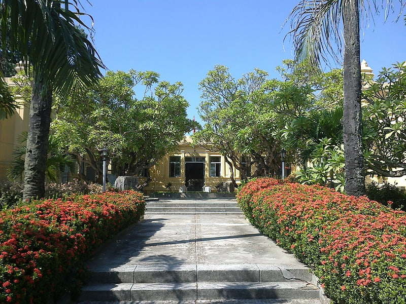
Gallery (2)
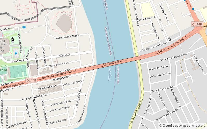
Map
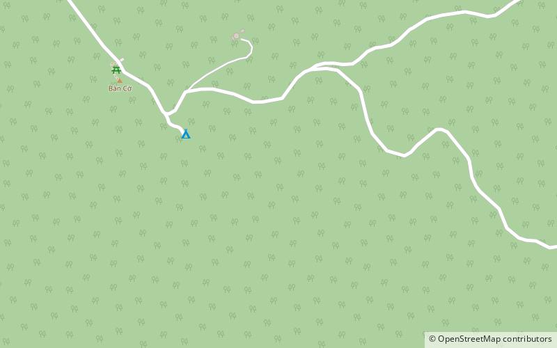
Map
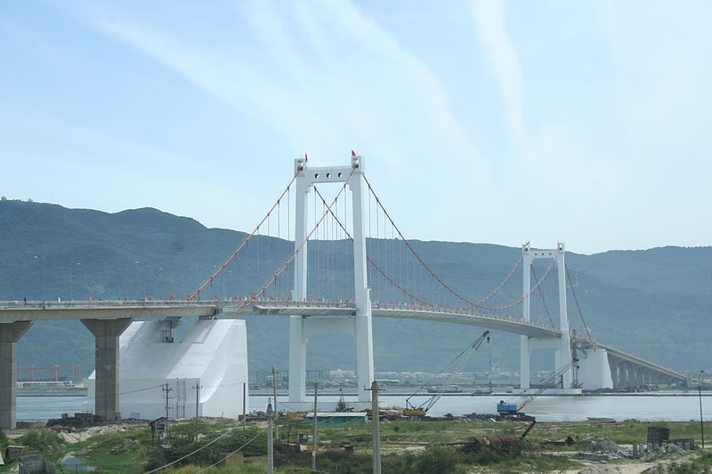
Gallery
Facts and practical information
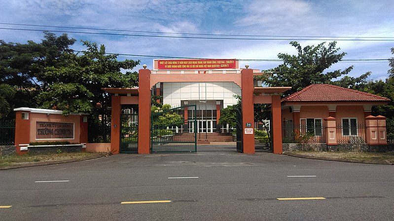
Sơn Trà is an urban district of Da Nang in the South Central Coast region of Vietnam. As of 2003 the district had a population of 112,196. The district covers an area of 60 km². The district is bounded by ocean to the north and east, the Hàn River to the west, and Ngũ Hành Sơn district to the south. Sơn Trà Mountain occupies a large portion of the district. ()
Address
Da Nang
ContactAdd
Social media
Add
Day trips