Văn Giang District, Hanoi
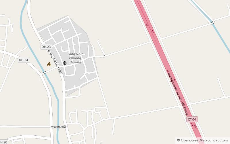
Map
Facts and practical information
Văn Giang is a rural district of Hưng Yên province in the Red River Delta region of Vietnam. As of 2003 the district had a population of 96,493. The district covers an area of 72 km². The district capital lies at Văn Giang. ()
Address
Hanoi
ContactAdd
Social media
Add
Getting there by public transportation
Public transportation stops near this location
- Bus
 Bus
Bus
- Calculate routeĐối diện qua trạm xăng dầu Cửu Cao 33 min walk
- Calculate routeQua đường vào Miếu Nghè 30m 33 min walk
- Calculate routeGần trạm xăng dầu xã Cửu Cao 34 min walk
- Calculate routeHĐND, UBND huyện Văn Giang 34 min walk
Day trips
Văn Giang District – popular in the area (distance from the attraction)
Nearby attractions include: Vĩnh Tuy Bridge.

Frequently Asked Questions (FAQ)
How to get to Văn Giang District by public transport?
The nearest stations to Văn Giang District:
Bus
Bus
- Đối diện qua trạm xăng dầu Cửu Cao • Lines: 47B (33 min walk)
- Qua đường vào Miếu Nghè 30m • Lines: 47B (33 min walk)