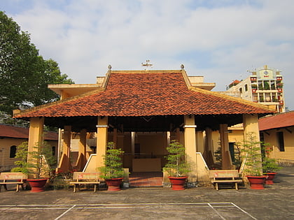
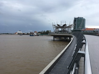
Cái Răng District, Can Tho
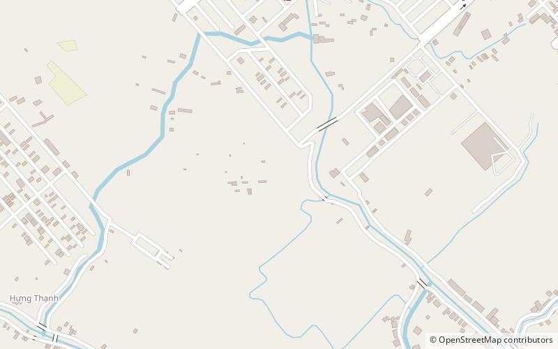
Map
Facts and practical information
Cái Răng is an urban district of Cần Thơ in the Mekong Delta region of Vietnam. As of 2003 the district had a population of 77,292. This increased to 82,152 in 2007. The district covers an area of 63 km². Cái Răng district was established by Decree No. 05/2004/ND-CP on January 2, 2004. The district borders Vĩnh Long province to the east, Phong Điền district to the west, Hậu Giang province to the south and Ninh Kieu district to the northwest. ()
Address
Can Tho
ContactAdd
Social media
Add
Day trips
Cái Răng District – popular in the area (distance from the attraction)
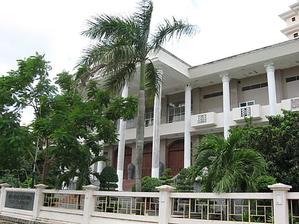
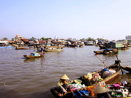
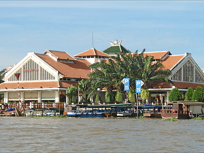
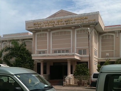
Nearby attractions include: Museum, Cần Thơ Bridge, Cai Rang Floating Market, Chùa Ông.
Frequently Asked Questions (FAQ)
How to get to Cái Răng District by public transport?
The nearest stations to Cái Răng District:
Bus
Bus
- FUTA Bus Terminal (21 min walk)
- Bến xe Trung tâm tp.Cần Thơ (22 min walk)
