Lake Lalolalo, Wallis Island
Map
Map

Facts and practical information
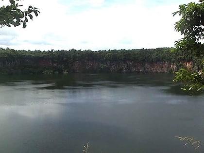
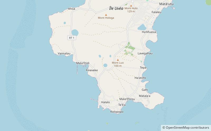
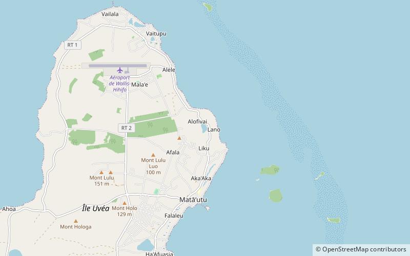
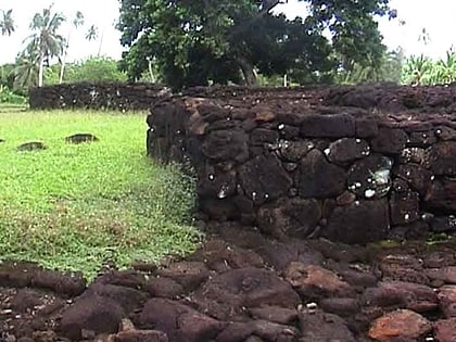
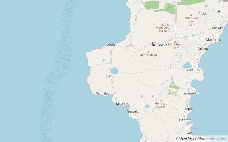
Lake Lalolalo is a volcanic crater lake surrounded by jungle to the southwest of the island of Wallis in the Pacific. The largest lake on the island, it lies off Route 1 between the coastal village of Mala'etoli and Ahoa. A small lake, Lake Lano, lies just to the northwest. ()
Local name: Lac Lalolalo Area: 29.65 acres (0.0463 mi²)Elevation: 148 ft a.s.l.Coordinates: 13°18'1"S, 176°14'2"W
Address
Wallis Island
ContactAdd
Social media
Add
Day trips
Lake Lalolalo – popular in the area (distance from the attraction)
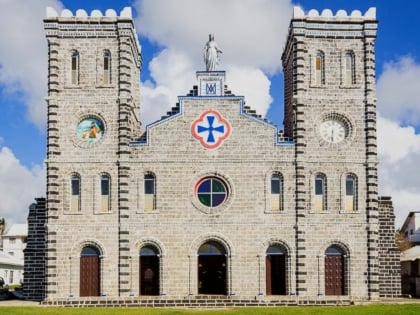
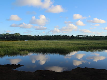
Nearby attractions include: Cathedral of Our Lady of the Assumption, Lake Lanutavake, Lake Kikila, Lake Alofivai.
