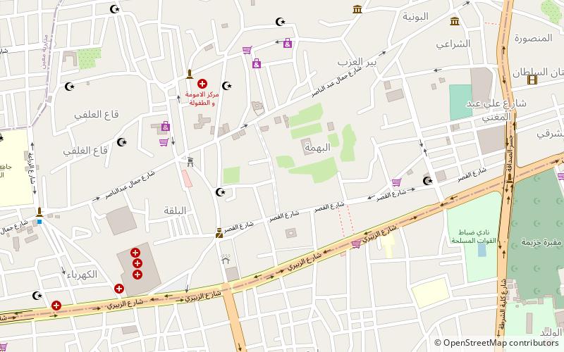
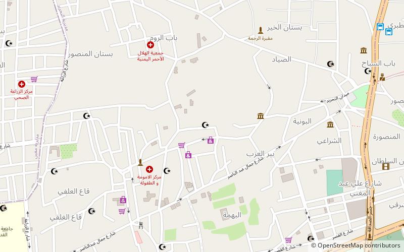
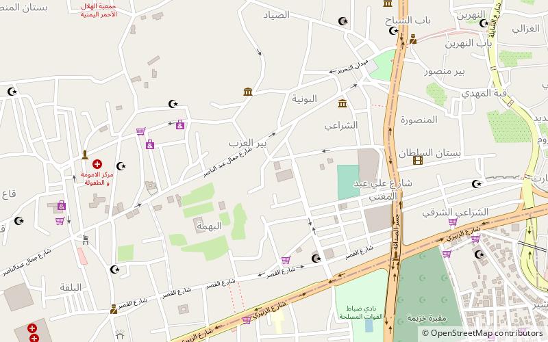
Al Wahdah District, Sanaa
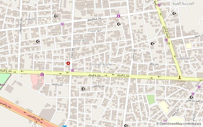
Map
Facts and practical information
Al Wahdah District is a district of the Amanat Al Asimah Governorate, Yemen. As of 2003, the district had a population of 99,956 inhabitants. ()
Local name: مديرية الوحدةArea: 2.93 mi²Coordinates: 15°20'10"N, 44°11'12"E
Address
Sanaa
ContactAdd
Social media
Add
Getting there by public transportation
Public transportation stops near this location
- Bus
 Bus
Bus
- Calculate routeشركه راحه 27 min walk
- Calculate route20 street round 30 min walk
Day trips


Frequently Asked Questions (FAQ)
How to get to Al Wahdah District by public transport?
The nearest stations to Al Wahdah District:
Bus
Bus
- شركه راحه (27 min walk)
- 20 street round (30 min walk)