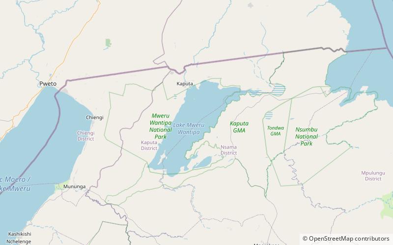
Lake Mweru Wantipa, Mweru Wantipa National Park

Map
Facts and practical information
Lake Mweru Wantipa or Mweru-wa-Ntipa meaning "muddy lake" is a lake and swamp system in the Northern Province of Zambia. It has been regarded in the past as something of mystery, displaying fluctuations in water level and salinity which were not entirely explained by variation in rainfall levels; it has been known to dry out almost completely. This is compounded by its remoteness and it not receiving the same attention from geographers and geologists as its larger and more accessible neighbours, Lake Tanganyika, 25 km east, and Lake Mweru, 40 km west, with which its name is sometimes confused. ()
Alternative names: Area: 579.15 mi²Length: 40.39 miWidth: 12.43 miMaximum depth: 16 ftElevation: 3061 ft a.s.l.Coordinates: 8°41'26"S, 29°43'47"E
Address
Mweru Wantipa National Park
ContactAdd
Social media
Add