Ngondoma Dam

Gallery (1)
Map
Map
Facts and practical information
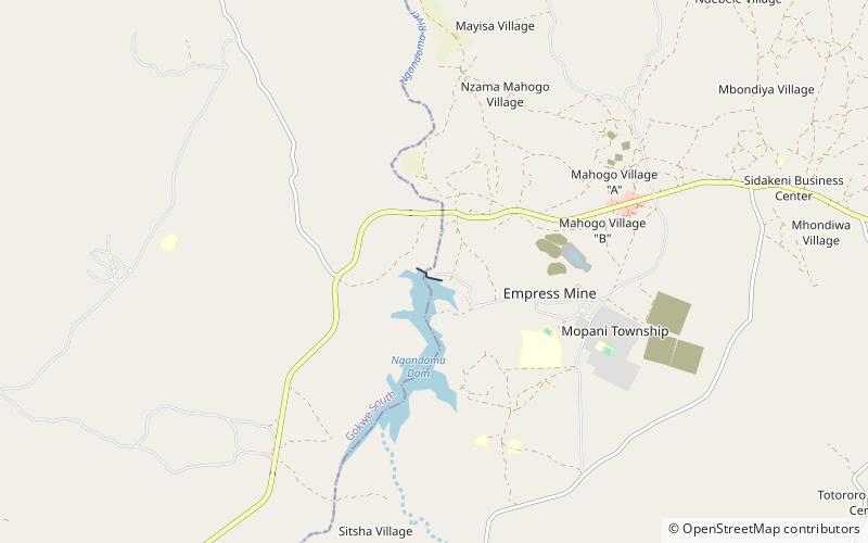
Ngondoma Dam is a dam on the Ngondoma River located 500 meters west of the Empress Mine Township in the Midlands Province of Zimbabwe. The dam is 67 kilometers northwest of the Kwekwe and 54 km southwest of Kadoma. ()
Opened: 1968 (56 years ago)Coordinates: 18°27'26"S, 29°24'50"E
Location
Midlands
ContactAdd
Social media
Add