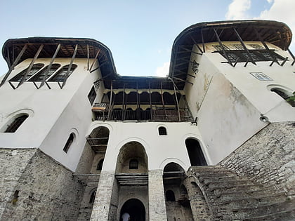
Kordhocë bridge
Map
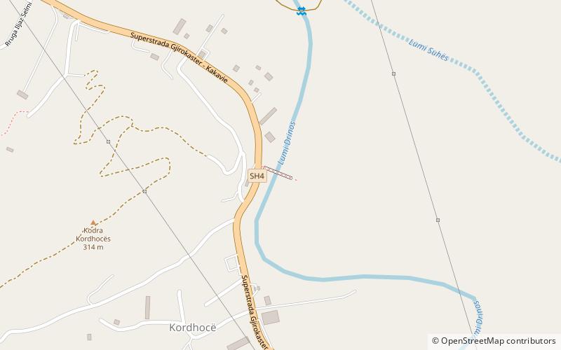
Map

Facts and practical information
The Kordhocë Bridge is an Ottoman Turkish stone arch bridge in the village of Kordhocë in Albania and about two kilometers south of Gjirokastër. It spans the Drino river at a maximum height of about 7 meters. It is about 20 metres long and 3.7 meters wide and is one of the most important buildings of the Ottoman period in Epirus. ()
Local name: Ura e Kordhocës Completed: 1820 (206 years ago)Architectural style: Ottoman architectureLength: 66 ftWidth: 13 ftHeight: 23 ftCoordinates: 40°3'40"N, 20°10'25"E
Location
Gjirokastër
ContactAdd
Social media
Add
Day trips
Kordhocë bridge – popular in the area (distance from the attraction)
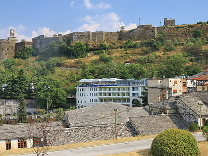
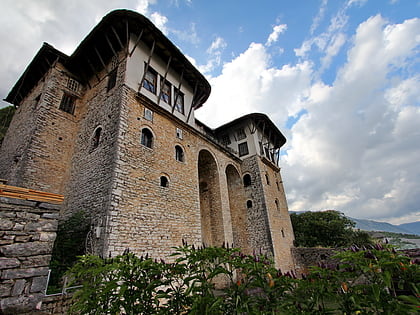
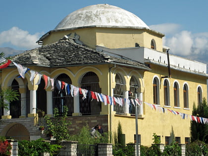
Nearby attractions include: Gjirokastër Castle, Zekate House, Teqe Mosque, Ethnographic Museum.

