Saharan Atlas
Map

Map

Facts and practical information
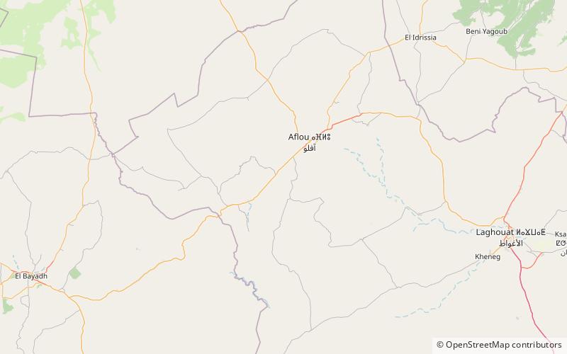
The Saharan Atlas is a range of the Atlas Mountain System. It is located mainly in Algeria, with its eastern end in Tunisia. Although not as tall as the High Atlas of Morocco its summits are more imposing than the Tell Atlas range that runs parallel closer to the coast. The tallest peak in the range is the 2,236 m high Djebel Aissa in the Ksour Range. ()
Location
Laghouat
ContactAdd
Social media
Add
Day trips
Saharan Atlas – popular in the area (distance from the attraction)
Nearby attractions include: Amour Range.

