Ain Zada Dam
Map
Facts and practical information
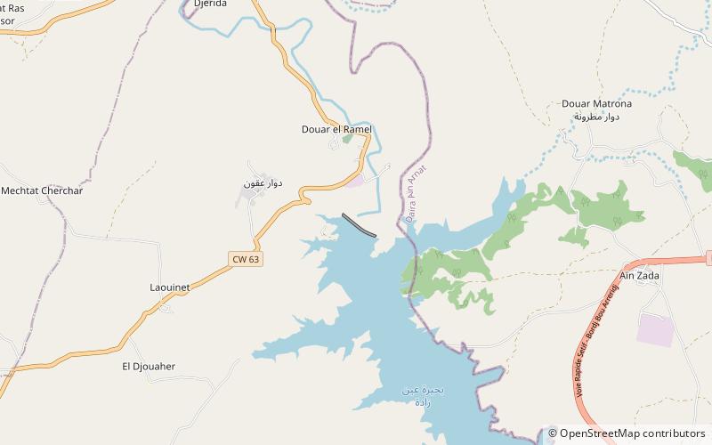
The Ain Zada Dam is an embankment dam located 10 km east of Khelil on the Bou-Sellam River in Bordj Bou Arréridj Province, Algeria. Constructed between 1982 and 1986, the primary purpose of the dam is supplying drinking and irrigation water to Sétif, located 24 km to the west. ()
Local name: سد عين زادة Opened: 1986 (39 years ago)Length: 2297 ftHeight: 164 ftReservoir area: 4.63 mi²Coordinates: 36°10'28"N, 5°8'58"E
Location
Bordj Bou Arréridj
ContactAdd
Social media
Add