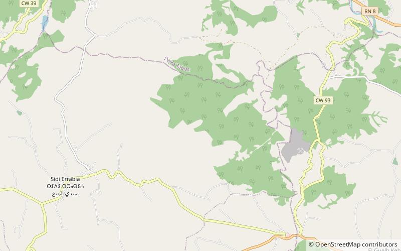
Koudiat Acerdoune Dam
Map

Map

Facts and practical information
The Koudiat Acerdoune Dam is a gravity dam located 9.5 km southwest of Kadiria on the Isser River in Bouïra Province, Algeria. The dam was constructed between 2002 and 2008 with the roller-compacted concrete technique. It serves the purposes of providing water for industrial, irrigation and municipal uses. It retains a 640,000,000 m3 capacity reservoir which supplies water for the irrigation of 20,000 ha of land along with providing the Algiers region with 178,000,000 m3 of drinking water annually. ()
Local name: سد كدية أسردون Opened: 2008 (18 years ago)Length: 1617 ftHeight: 397 ftCoordinates: 36°17'31"N, 3°21'12"E
Location
Médéa
ContactAdd
Social media
Add
