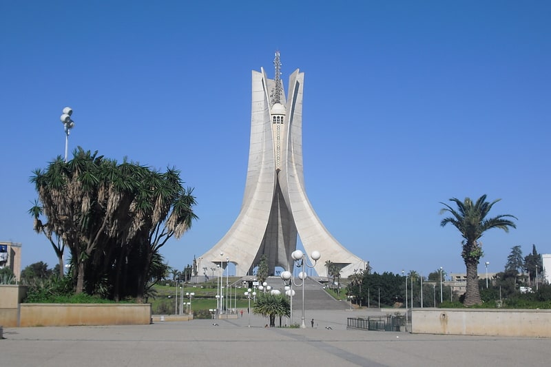
Hussein Dey District, Algiers
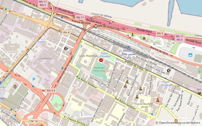
Map
Facts and practical information
Hussein Dey is a district in Algiers Province, Algeria. It was named after the Ottoman provincial ruler of the Regency of Algiers. ()
Address
حسين داي دائرة (حسين داي)Algiers
ContactAdd
Social media
Add
Getting there by public transportation
Public transportation stops near this location
- Metro
- Bus
- Tram
- Train
 Metro
Metro
- Calculate routeTripoli - Thâalibia 2 min walk
- Calculate routeLes Fusillés 8 min walk
- Calculate routeRuisseau 13 min walk
- Calculate routeHussein Dey 4 min walk
- Calculate routePont Des Fusilles 5 min walk
- Calculate routeEl Annasser 5 min walk
- Calculate routeResidence 9 min walk
- Calculate routeResidece 9 min walk
- Calculate routeAmirouche City 12 min walk
- Calculate routeLes fusillés 14 min walk
- Calculate routeMer et Soleil 23 min walk
- Calculate routeJardin d'essai 28 min walk
Day trips


Frequently Asked Questions (FAQ)
How to get to Hussein Dey District by public transport?
The nearest stations to Hussein Dey District:
Tram
Train
Bus
Metro
Tram
- Tripoli - Thâalibia • Lines: T1 A, T1 R (2 min walk)
- Les Fusillés • Lines: T1 A, T1 R (8 min walk)
Train
- Hussein Dey (4 min walk)
Bus
- Pont Des Fusilles • Lines: 113, 19, 98 (5 min walk)
- El Annasser • Lines: 101, 732 (5 min walk)
Metro
- Amirouche City • Lines: L1 (12 min walk)
- Les fusillés • Lines: L1 (14 min walk)