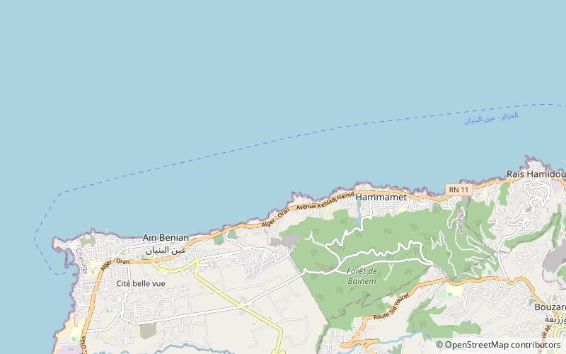
Chéraga District, Algiers
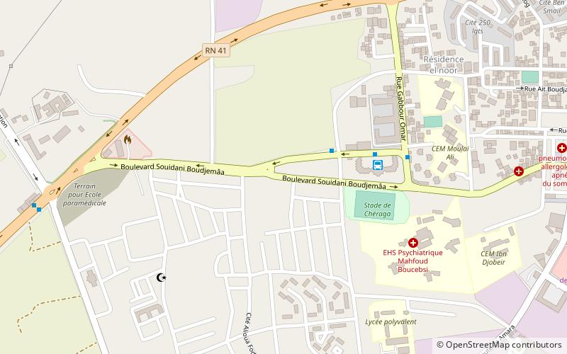
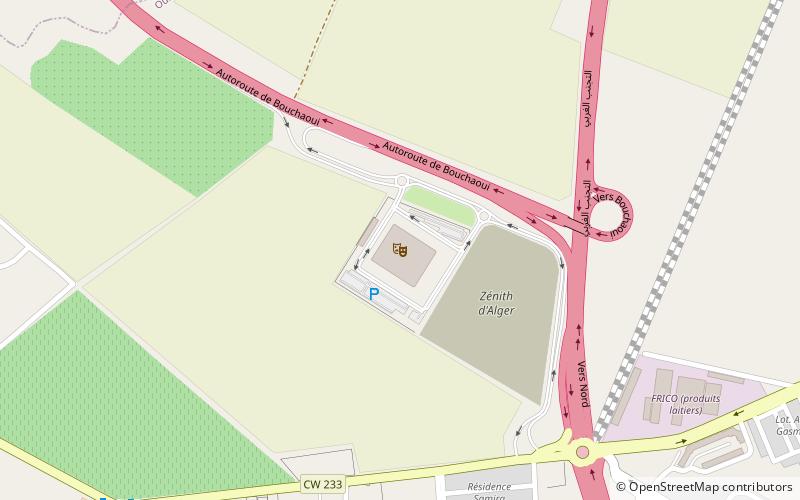
Map
Facts and practical information
Chéraga is a district in Algiers Province, Algeria. It was named after its capital, Chéraga. ()
Address
شراقة دائرة (شراقة)Algiers
ContactAdd
Social media
Add
Day trips
Chéraga District – popular in the area (distance from the attraction)
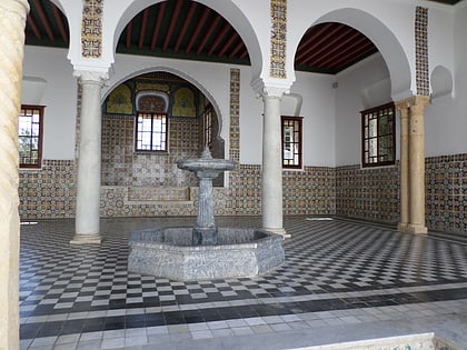
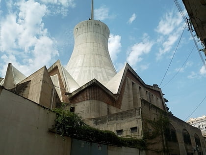
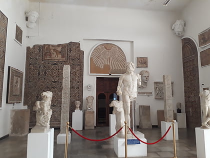
Nearby attractions include: Notre Dame d'Afrique, Bardo National Museum, Sacré Coeur, National Museum of Antiquities and Islamic Art.
Frequently Asked Questions (FAQ)
How to get to Chéraga District by public transport?
The nearest stations to Chéraga District:
Bus
Bus
- Cheraga Gare Routière • Lines: 03, 701 (4 min walk)
- Gare routière de Cheraga (5 min walk)

