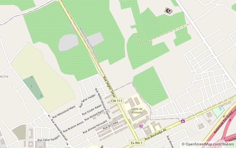
Birtouta District, Algiers
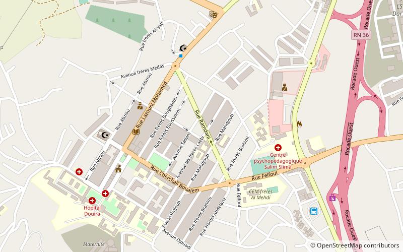
Map
Facts and practical information
Birtouta is a district in Algiers Province, Algeria. It was named after its capital, Birtouta. ()
Address
درارية دائرة (الخرايصية)Algiers
ContactAdd
Social media
Add
Getting there by public transportation
Public transportation stops near this location
- Bus
 Bus
Bus
- Calculate routeBirtouta 15 min walk
Day trips

Frequently Asked Questions (FAQ)
How to get to Birtouta District by public transport?
The nearest stations to Birtouta District:
Bus
Bus
- Birtouta • Lines: 101 (15 min walk)