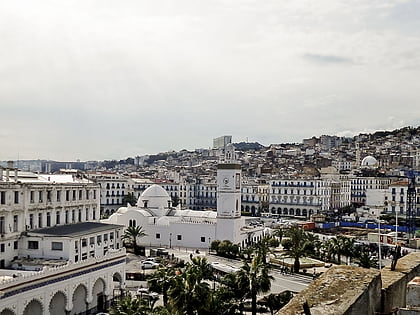
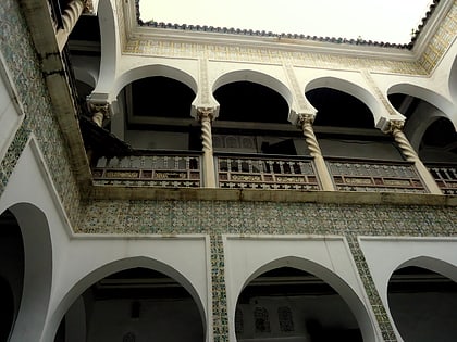
El Barani Mosque, Algiers
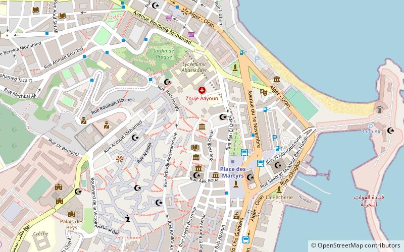
Map
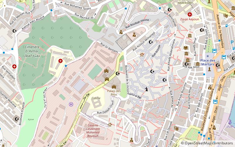
Map

Facts and practical information
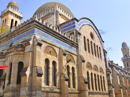
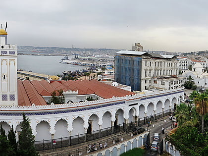
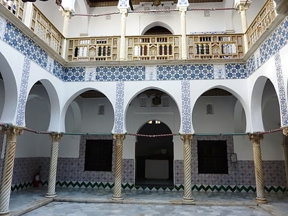
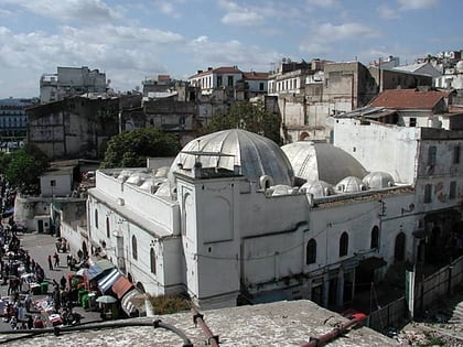
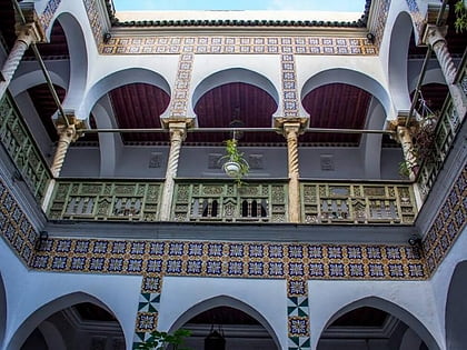
Berrani Mosque is a historic mosque in the city of Algiers. The mosque is situated inside the UNESCO World Heritage Site Casbah of Algiers. It is located at the Bab Jadid Street, aligning with the entrance of Dar al-Sultan palace. ()
Coordinates: 36°47'4"N, 3°3'21"E
Address
باب الوادى دائرة (قصبة)Algiers
ContactAdd
Social media
Add
Day trips
El Barani Mosque – popular in the area (distance from the attraction)
Nearby attractions include: La Grande Poste, Djamaa Ben farès, Ketchaoua Mosque, Great Mosque of Algiers.
Frequently Asked Questions (FAQ)
Which popular attractions are close to El Barani Mosque?
Nearby attractions include Palace of the Dey, Algiers (2 min walk), Safir Mosque, Algiers (4 min walk), Djamaa Ben farès, Algiers (5 min walk), Casbah of Algiers, Algiers (6 min walk).
How to get to El Barani Mosque by public transport?
The nearest stations to El Barani Mosque:
Bus
Metro
Train
Ferry
Bus
- Chu Ait Ali Idir • Lines: 50 (6 min walk)
- El Biar • Lines: 50 (7 min walk)
Metro
- Ali Boumendjel • Lines: L1 (9 min walk)
- Place des Martyrs • Lines: L1 (11 min walk)
Train
- Algiers (13 min walk)
- Agha (30 min walk)
Ferry
- Algiers (15 min walk)
- Alger • Lines: الجزائر - Marseille (18 min walk)

