Tossa Plana de Lles

Gallery (1)
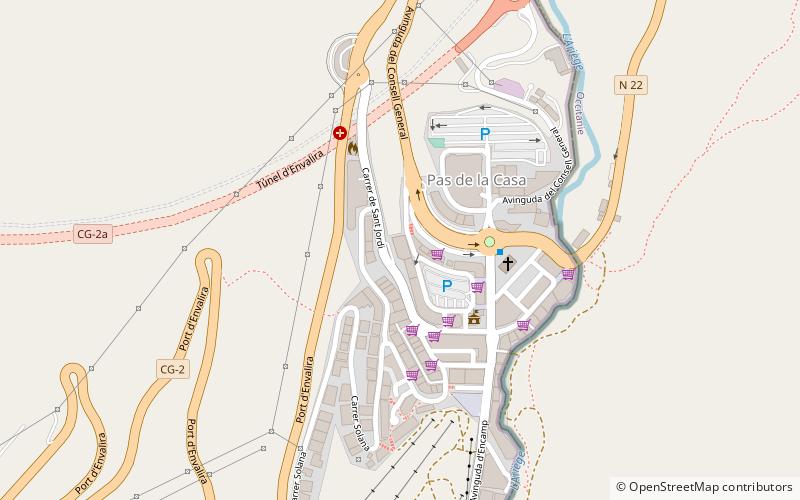
Map
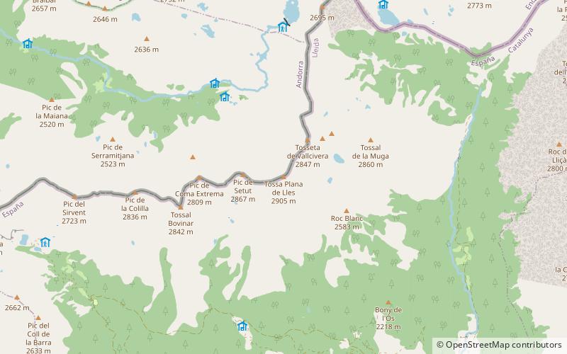
Map
Facts and practical information
Pic de la Portellet - mountain peak in Eastern Pyrenees. It is administratively located on the border of Andorra with Spain. Rises to a height of 2905 m a.s.l.
North of the summit is the Coll de Vall Civera Pass, east Muga Summit, while in the west there is Pic Dels Estanyons.
Location
Escaldes-Engordany
ContactAdd
Social media
Add
Day trips