Ilha de Luanda

Gallery (1)
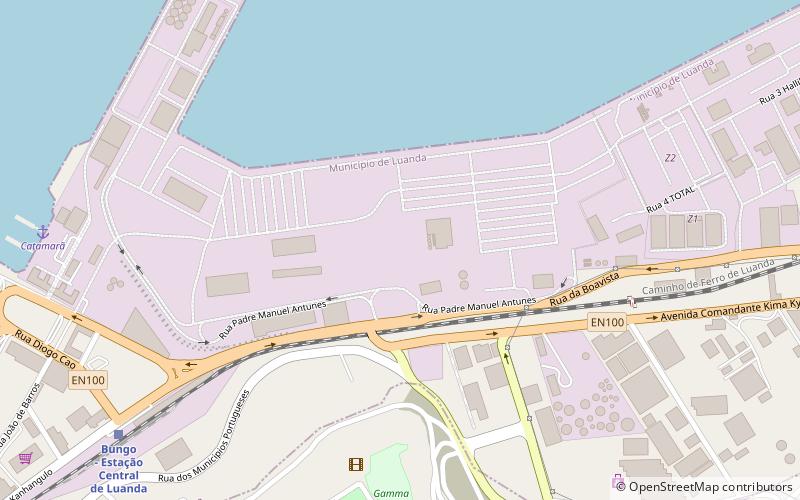
Map
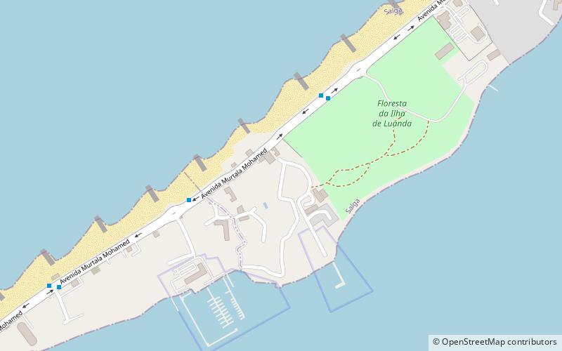
Map
Facts and practical information
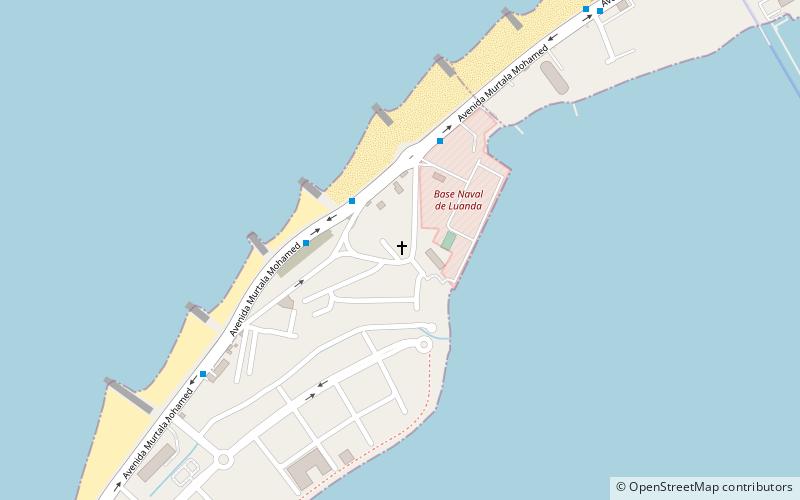
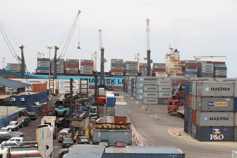
Ilha do Cabo typically known as Ilha de Luanda is a spit off the shore of Luanda, the capital of Angola, a country on the continents' southwestern coast. It consists of a low sandy strip formed by sedimentation. In administrative terms, the peninsula belongs to the municipality of Ingombota in the Luanda Province. ()
Location
Luanda
ContactAdd
Social media
Add
Day trips