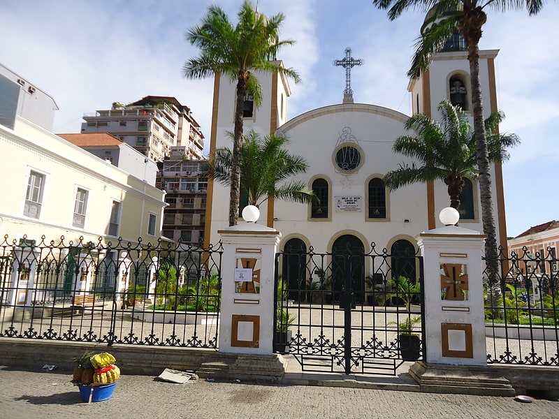
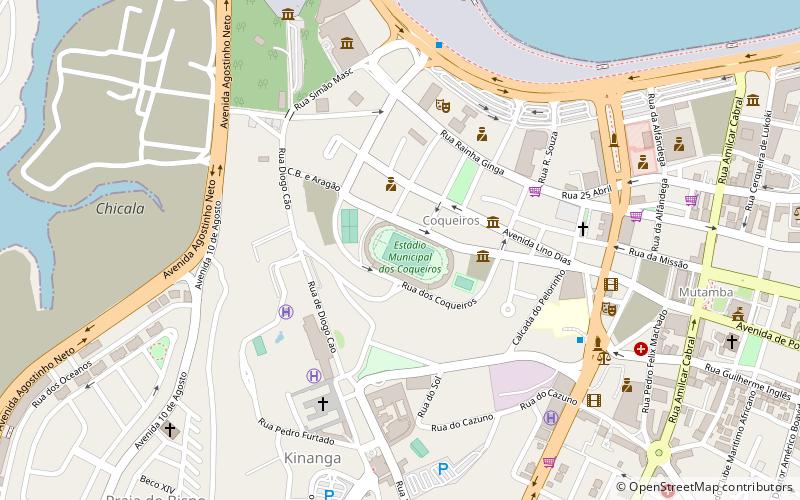
Igreja de Jesus, Luanda
Facts and practical information
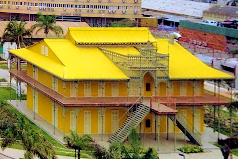
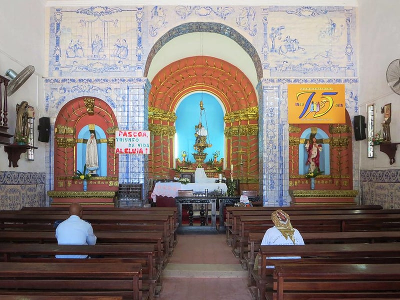
Nestled in the heart of Luanda, Angola's bustling capital, stands the historic Igreja de Jesus, a testament to the city's rich colonial heritage. This Catholic church, known for its distinctive architecture and spiritual significance, is a beacon of faith amidst the urban landscape.
Originally constructed in the 17th century, Igreja de Jesus has weathered the passage of time, bearing witness to the ebb and flow of Angola's complex history. The church's design showcases the fusion of European and local influences, reflecting the period's architectural trends and the adaptability of religious structures in the colonial context.
The facade of Igreja de Jesus is characterized by its simplicity and elegance, inviting worshippers and visitors alike into its serene interior. Inside, the church's atmosphere is one of reverence and tranquility, with religious iconography and art adorning the walls and altar, providing a window into the spiritual life of the community.
As a vital cultural and historical landmark, Igreja de Jesus not only serves as a place of worship but also as a symbol of Angola's Portuguese colonial past. It stands as a reminder of the intertwined narratives of religion, colonization, and the resilience of the Angolan people.
Today, the church remains an active center for Catholic worship, drawing locals and tourists to participate in its liturgical celebrations and to marvel at its storied past. Whether one seeks spiritual solace or wishes to delve into the architectural and historical tapestry of Luanda, Igreja de Jesus offers a unique and enriching experience.
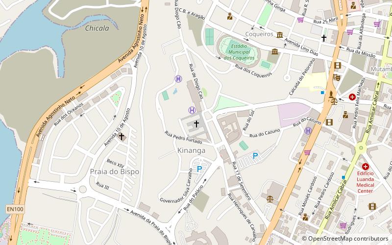
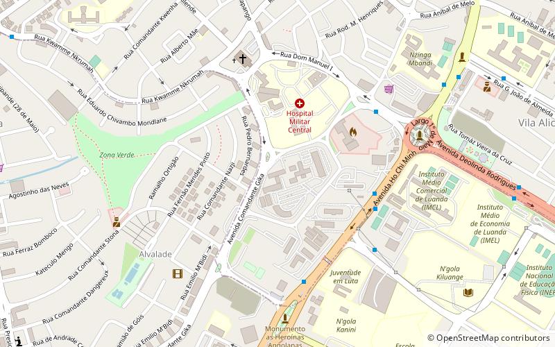
Luanda
- Bus
 Bus
Bus
- Calculate routeMutamba 15 min walk
- Calculate routeTransporte Colectivo Urbano de Luanda 16 min walk


Frequently Asked Questions (FAQ)
Which popular attractions are close to Igreja de Jesus?
How to get to Igreja de Jesus by public transport?
Bus
- Mutamba (15 min walk)
- Transporte Colectivo Urbano de Luanda (16 min walk)