National Library of Angola, Luanda
#15 among attractions in Luanda
Facts and practical information
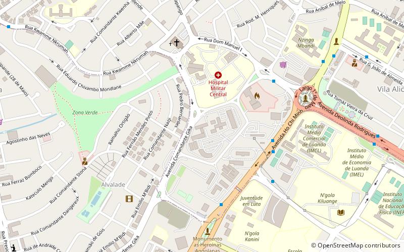
The National Library of Angola is located in Luanda. ()
Luanda Angola
- Bus
Bus
- Calculate routeTransporte Colectivo Urbano de Luanda 27 min walkLines no data
- Calculate routeMutamba 27 min walkLines no data
National Library of Angola – popular in the area (distance from the attraction)
Nearby attractions include: Museu Nacional de Antropologia, Igreja de Jesus, Church of Our Lady of Remedies, Palácio de Ferro.
 Museum
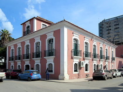
Museu Nacional de Antropologia, Luanda
33 min walk • The Museu Nacional de Antropologia, situated in the vibrant city of Luanda, Angola, stands as a testament to the rich cultural heritage and history of the nation. This museum is a treasure trove of ethnographic artifacts that paint a vivid picture of Angola's diverse...
 Church
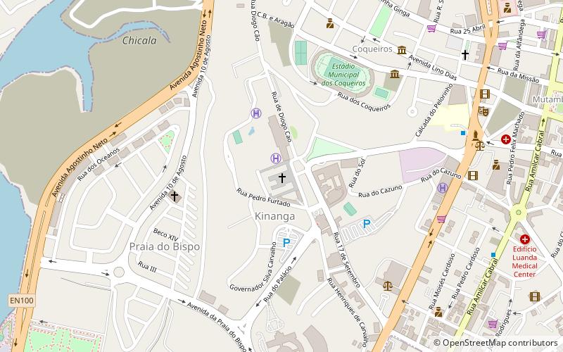
Igreja de Jesus, Luanda
33 min walk • Nestled in the heart of Luanda, Angola's bustling capital, stands the historic Igreja de Jesus, a testament to the city's rich colonial heritage. This Catholic church, known for its distinctive architecture and spiritual significance, is a beacon of faith amidst the...
 Church, Historical place
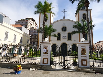
Church of Our Lady of Remedies, Luanda
31 min walk • The Church of Our Lady of Remedies stands as a beacon of spiritual heritage in the bustling city of Luanda, Angola. This historic church is not only a place of worship but also a symbol of the city's rich colonial past. Constructed during the Portuguese colonial era...
 Museum, Historical place, Architecture
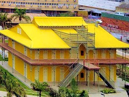
Palácio de Ferro, Luanda
30 min walk • Nestled in the bustling heart of Luanda, Angola, the Palácio de Ferro stands as a testament to the city's rich historical tapestry and cultural sophistication. This architectural marvel, now functioning as a museum, draws visitors from around the globe, eager...
 Museum, History museum
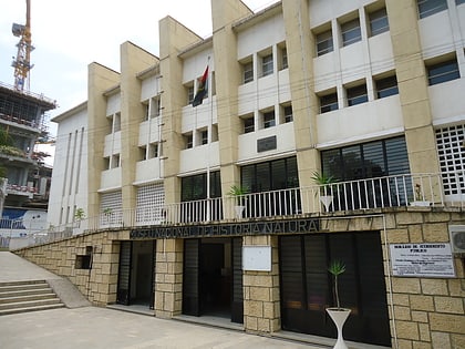
Museu Nacional de História Natural de Angola, Luanda
23 min walk • Nestled in the bustling city of Luanda, Angola, the Museu Nacional de História Natural de Angola stands as a testament to the country's rich biodiversity and cultural heritage. This esteemed museum invites visitors to delve into the natural wonders of Angola...
 Church
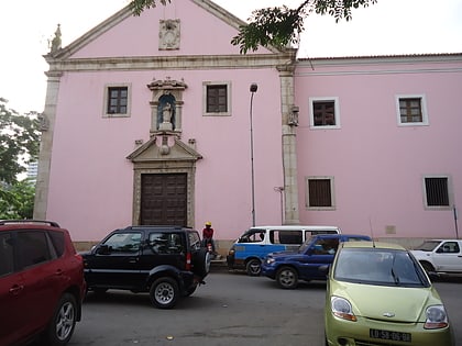
Igreja do Carmo, Luanda
25 min walk • Igreja e Convento de Nossa Senhora do Carmo, also Igreja do Carmo, is a church and convent complex in Luanda, Angola. Thanks to its good condition, the church is considered to be one of the country's most important religious monuments.
 Cemetery
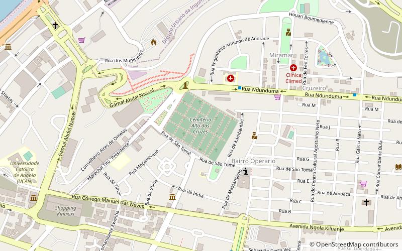
Alta das Cruzes cemetery, Luanda
31 min walk • Alto das Cruzes cemetery is a cemetery in Miramar, Luanda, Angola. It is one of the most prominent cemeteries of the city, where many of the illustrious Angolan personalities are buried.
 Sport, Sport venue
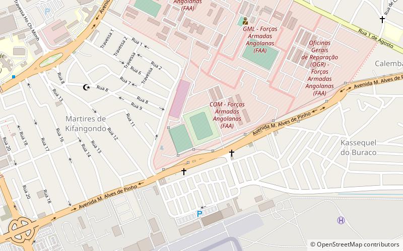
Estádio França Ndalu, Luanda
24 min walk • Estádio França Ndalu is an Angolan football stadium built and owned by Clube Desportivo Primeiro de Agosto and will be the venue for the club's home games in all events that it takes part of.
 Football, Sport venue, Sport
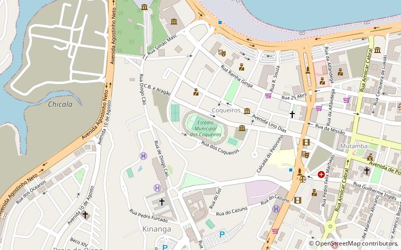
Estádio dos Coqueiros, Luanda
35 min walk • Estádio dos Coqueiros is a multi-use stadium in Luanda, Angola. It is currently used mostly for football matches and is the home ground of Benfica de Luanda and Kabuscorp. The stadium holds 12,000 people and was built during the colonial period, in 1947. It underwent major renovation works in 2005.
 Basketball, Sport venue, Sport
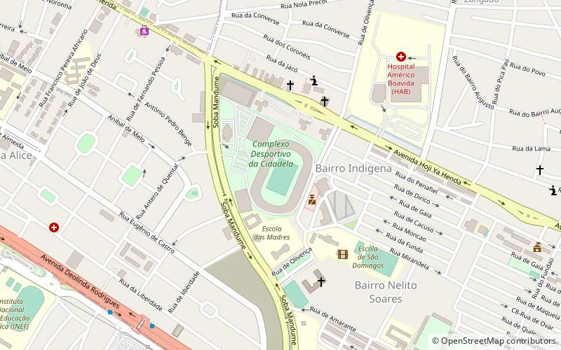
Estádio da Cidadela, Luanda
29 min walk • Estádio da Cidadela is a stadium in Luanda, Angola. It is used mostly for football matches, while sometimes hosting cultural events, including musical concerts. It is part of the Complexo Desportivo da Cidadela, along with the Pavilhão da Cidadela, Pavilhão Anexo and Pavilhão Anexo II.
 Sport venue, Sport
Pavilhão da Cidadela, Luanda
28 min walk • Pavilhão da Cidadela is an Angolan indoor sporting arena located in Luanda, Angola. The capacity of the arena is 6,873 people. It is used to host the Atlético Petróleos Luanda and formerly of the Angola national basketball team before the appearance of Pavilhão Multiusos do Kilamba.
Frequently Asked Questions (FAQ)
How to get to National Library of Angola by public transport?
Bus
- Transporte Colectivo Urbano de Luanda (27 min walk)
- Mutamba (27 min walk)