El Chalten Travel Guide
Facts and practical information
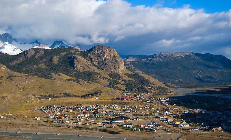
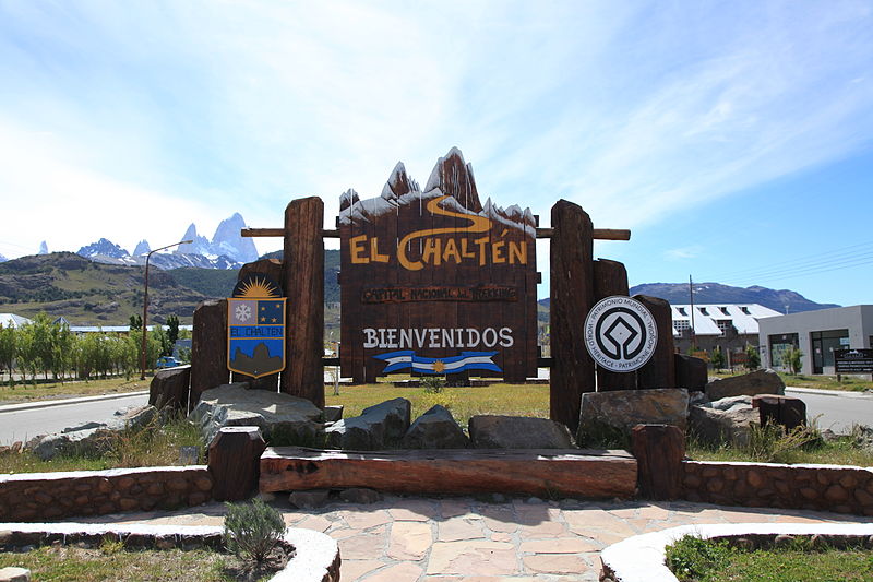
Nestled within the rugged terrain of Argentina's Province Santa Cruz, El Chaltén is a beacon for adventurers and nature enthusiasts alike. This small, charismatic town has earned the title of Argentina's Trekking Capital, thanks to its proximity to the majestic peaks of the Andes and access to the Southern Patagonian Ice Field.
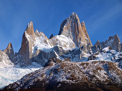
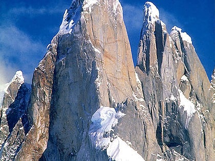
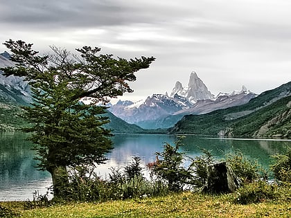
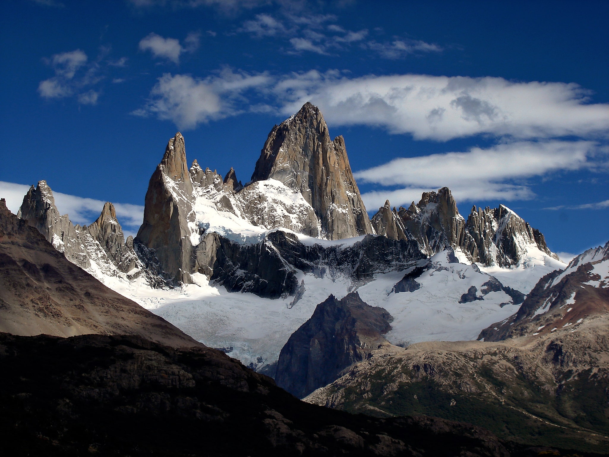
El Chaltén serves as the gateway to the renowned Los Glaciares National Park, a UNESCO World Heritage site that boasts some of the most awe-inspiring landscapes on the continent. The park is home to the iconic Mount Fitz Roy and Cerro Torre, both of which present challenging climbs and breathtaking vistas for trekkers of varying skill levels.
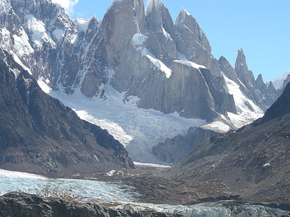
Visitors flock to El Chaltén to embark on day hikes or multi-day expeditions, exploring the numerous trails that wind through lush forests, past glacial lakes, and alongside meandering rivers. The Laguna de los Tres and Laguna Torre are among the most popular hiking destinations, offering panoramic views of the surrounding peaks and glaciers.
For the less intrepid, El Chaltén offers a range of activities that capitalize on its natural beauty. Bird watching, horseback riding, and fishing in the pristine rivers are all tranquil ways to engage with the local environment. The colder months transform the landscape into a winter wonderland, opening up opportunities for snowshoeing and ice climbing.
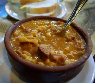
Despite its remote location, El Chaltén has developed a vibrant culinary scene that caters to the international crowd it attracts. Cozy restaurants and cafes serve up hearty Patagonian fare, with local lamb and trout being menu staples. Craft breweries in town also provide a taste of regional flavors, with artisanal beers that are perfect for unwinding after a day of exploration.
Accommodation in El Chaltén ranges from hostels and campsites for budget travelers to more upscale lodges that offer comfort and luxury in the heart of the wilderness. The town itself, though small, is equipped with amenities that ensure visitors can stock up on supplies and stay connected, albeit with the understanding that the focus here is on nature's grandeur.
El Chalten – popular in the area (distance from the center)
In the vicinity of El Chalten, it's worth seeing attractions such as: Fitz Roy (Los Glaciares National Park), Cerro Torre (Los Glaciares National Park), Laguna Torre (Los Glaciares National Park).
Best Time To Visit El Chalten
Learn when is the best time to travel to El Chalten weather-wise and what to expect in each season.
Best Ways to Experience the Place
Food & drink
CuisineA guide to some of the best local dishes and drinks that you will meet in the region.
