Punta Mogotes, Mar del Plata
Map
Map

Facts and practical information
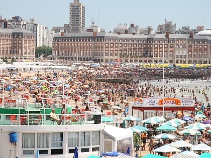
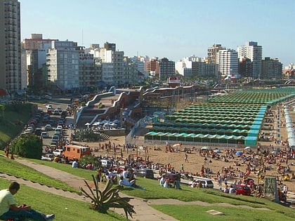
Punta Mogotes is an open beach area and an adjacent neighbourhood located in Mar del Plata, Argentina, some three kilometres south-west of the city's port. The coastline was largely high dunes and a somewhat wild landscape until 1980, when a large compound of resort facilities and paved roads was built right along the beach. ()
Address
Mar del Plata
ContactAdd
Social media
Add
Day trips
Punta Mogotes – popular in the area (distance from the attraction)
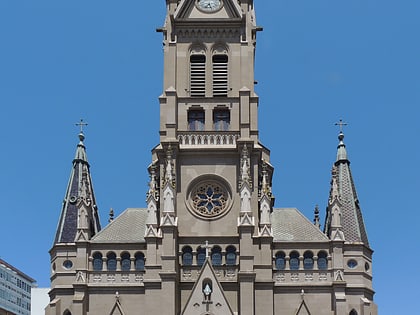
Nearby attractions include: Juan Carlos Castagnino Municipal Museum of Art, Estadio José María Minella, Casino Central, Mar del Plata Cathedral.

