Gruta de Lourdes, Mar del Plata

Gallery (1)
Map
Map
Facts and practical information
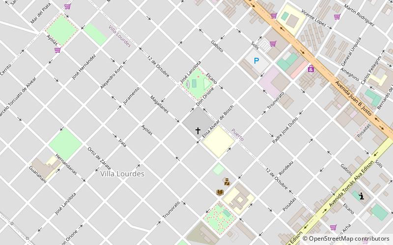
Gruta de Lourdes (address: Villa Lourdes) is a place located in Mar del Plata (Buenos Aires province) and belongs to the category of sacred and religious sites, spiritual, church.
It is situated at an altitude of 72 feet, and its geographical coordinates are 38°2'18"S latitude and 57°33'13"W longitude.
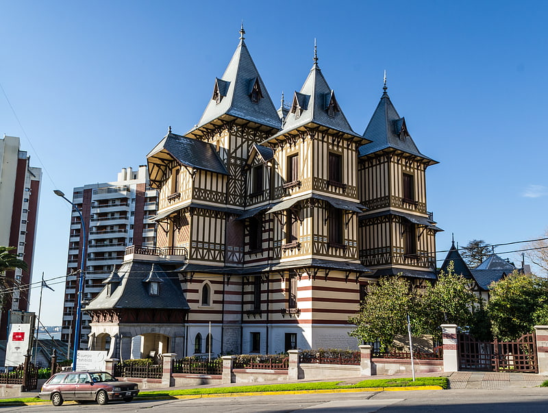
Among other places and attractions worth visiting in the area are: Punta Mogotes (beach, 28 min walk), Playa Grande (beach, 35 min walk), La Normandina (building, 39 min walk).
Coordinates: 38°2'18"S, 57°33'13"W
Day trips