Barracas, Buenos Aires
Map
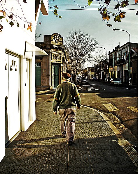
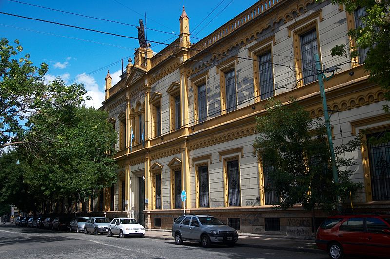
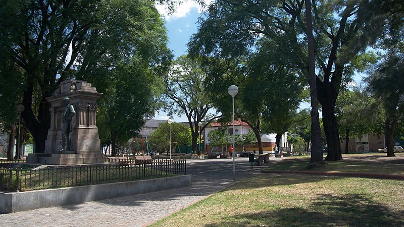
Gallery
Facts and practical information
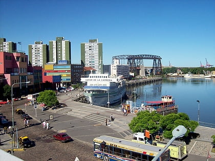
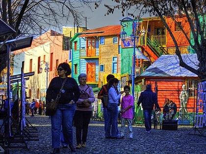
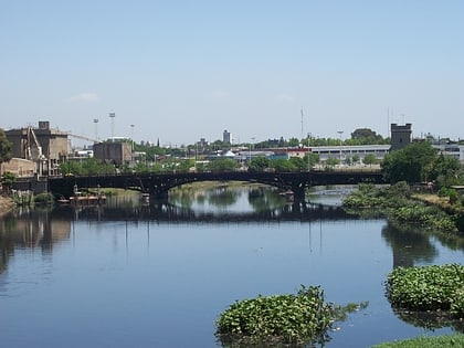
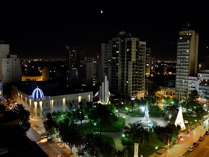
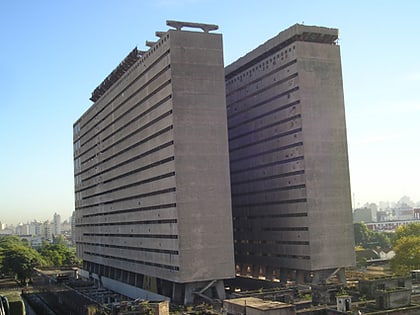
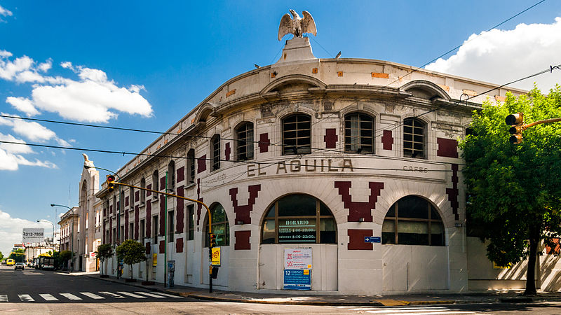
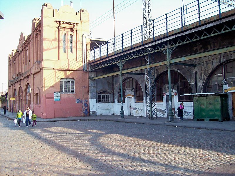
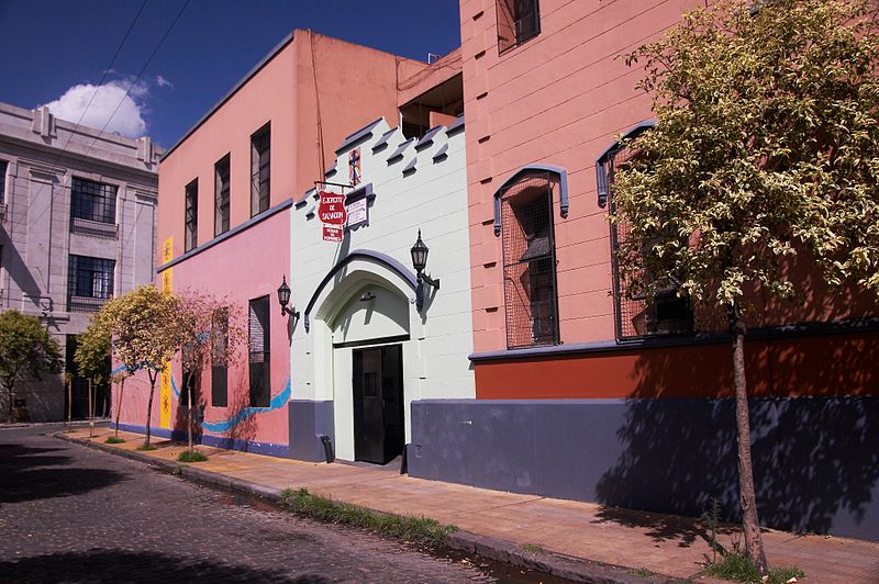
Barracas is a barrio, or district, in the southeast part of the city of Buenos Aires, Argentina. It is located between the railroad of Ferrocarril General Manuel Belgrano and the Riachuelo River, and the streets Regimiento de Patricios, Defensa, Caseros, Vélez Sársfield, Amancio Alcorta, Lafayette, and Lavardén. The name Barracas comes from the word barraca, which refers to a temporary construction of houses using rudimentary materials. ()
Address
Comuna 4 (Barracas)Buenos Aires
ContactAdd
Social media
Add
Day trips
Barracas – popular in the area (distance from the attraction)
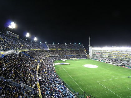
Nearby attractions include: La Bombonera, Estadio Presidente Juan Domingo Perón, Fundación Proa, Estadio Tomás Adolfo Ducó.
Frequently Asked Questions (FAQ)
Which popular attractions are close to Barracas?
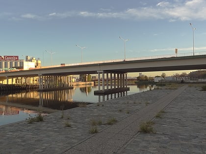
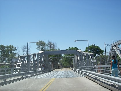
Nearby attractions include Señor Tango, Buenos Aires (12 min walk), Bosch Bridge, Buenos Aires (16 min walk), Pueyrredón Bridge, Buenos Aires (19 min walk), New Pueyrredón Bridge, Buenos Aires (20 min walk).
How to get to Barracas by public transport?
The nearest stations to Barracas:
Bus
Train
Metro
Bus
- San Antonio e Iriarte • Lines: 12 (8 min walk)
- San Antonio y Caflifornia • Lines: 100-1G, 95-1 (8 min walk)
Train
- Hipólito Yrigoyen (9 min walk)
- Darío Santillán y Maximiliano Kosteki (24 min walk)
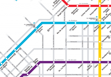
Metro
- Caseros • Lines: H (35 min walk)


 Metro
Metro