Avellaneda, Buenos Aires
Map
Gallery
Facts and practical information
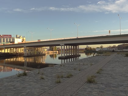
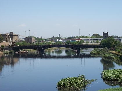
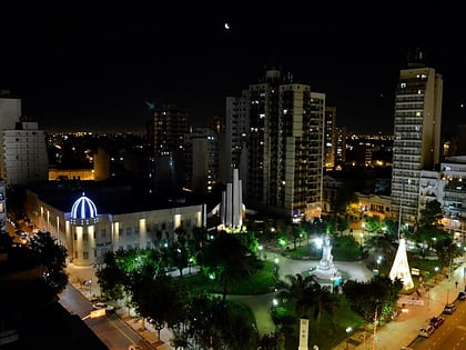
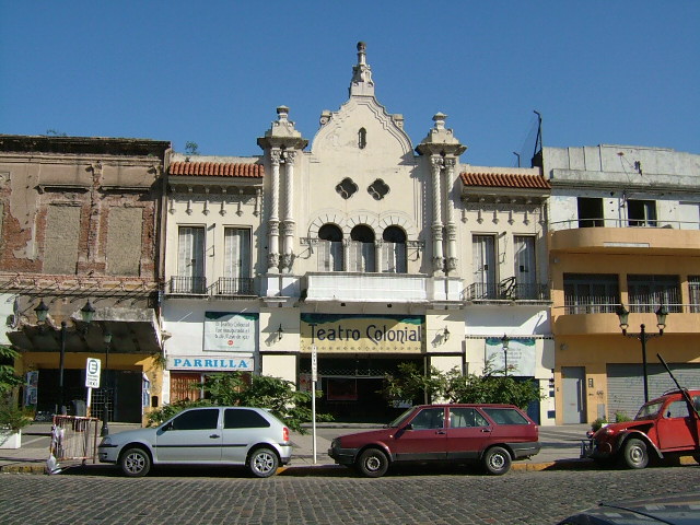
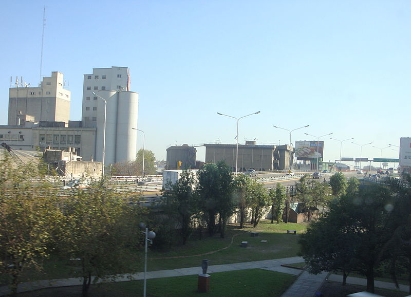
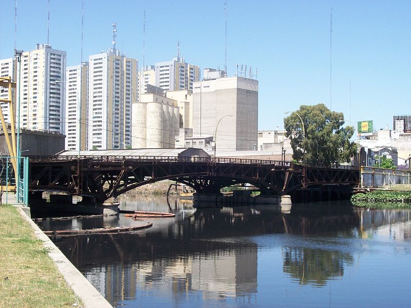
Avellaneda is a port city in the province of Buenos Aires, Argentina, and the seat of the Avellaneda Partido, whose population was 342,677 as per the 2010 census. Avellaneda is located within the Greater Buenos Aires metropolitan area, and is connected to neighboring Buenos Aires by several bridges over the Riachuelo River. ()
Address
Buenos Aires
ContactAdd
Social media
Add
Day trips
Avellaneda – popular in the area (distance from the attraction)
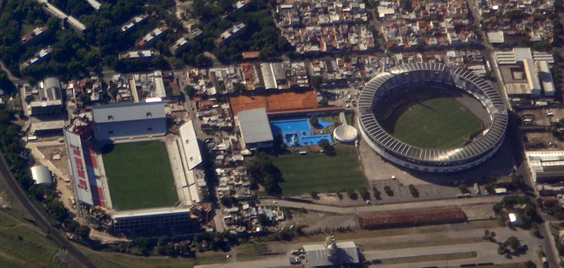
Nearby attractions include: Estadio Presidente Juan Domingo Perón, Estadio Libertadores de América, New Pueyrredón Bridge, Pueyrredón Bridge.
Frequently Asked Questions (FAQ)
Which popular attractions are close to Avellaneda?
Nearby attractions include Estadio Presidente Juan Domingo Perón, Buenos Aires (12 min walk), Pueyrredón Bridge, Buenos Aires (13 min walk), New Pueyrredón Bridge, Buenos Aires (13 min walk), Estadio Libertadores de América, Buenos Aires (17 min walk).
How to get to Avellaneda by public transport?
The nearest stations to Avellaneda:
Bus
Train
Bus
- Belgrano y España • Lines: 100-1G, 129-10, 129-19 (3 min walk)
- Mitre y Montes de Oca • Lines: 129-10, 129-19, 74 (4 min walk)
Train
- Darío Santillán y Maximiliano Kosteki (15 min walk)
- Hipólito Yrigoyen (23 min walk)


 Metro
Metro

