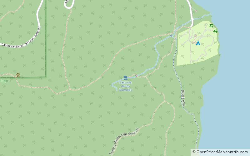
Sendero Cascada de los Duendes, San Carlos de Bariloche
Map
Facts and practical information
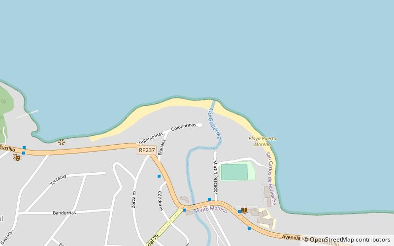
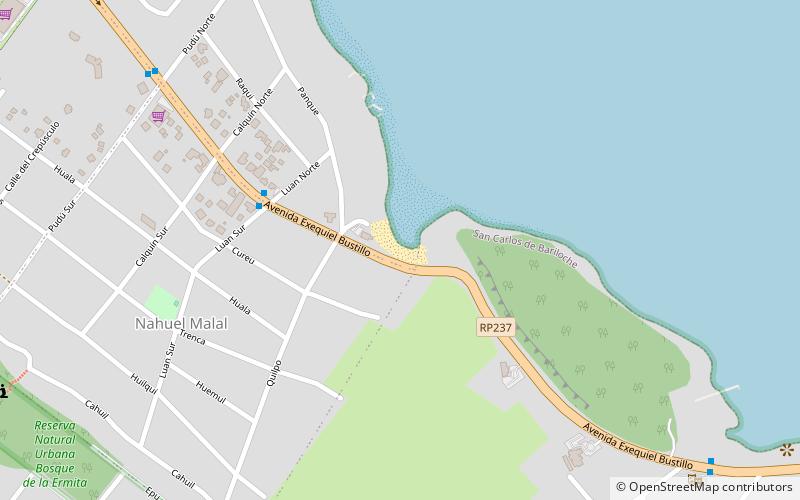
Sendero Cascada de los Duendes is a place located in San Carlos de Bariloche (Río Negro province) and belongs to the category of bridge, natural attraction.
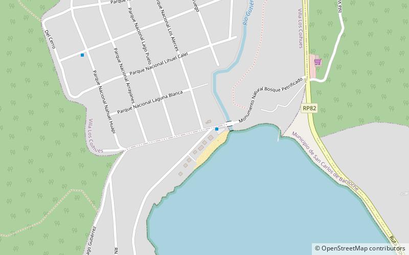
It is situated at an altitude of 2894 feet, and its geographical coordinates are 41°10'56"S latitude and 71°25'8"W longitude.
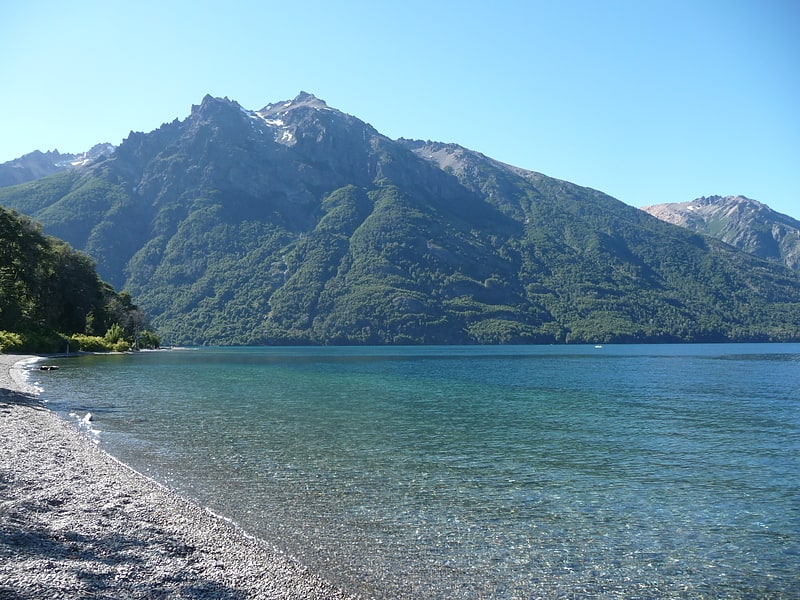
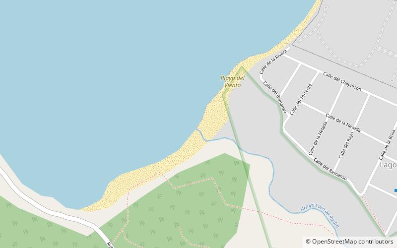
Among other places and attractions worth visiting in the area are: Die Brücke Brewbery (bars and clubs, 38 min walk), Gutiérrez Lake, Nahuel Huapi National Park (natural attraction, 46 min walk), Playa Muñoz, Nahuel Huapi National Park (beach, 69 min walk).
Coordinates: 41°10'56"S, 71°25'8"W
Address
San Carlos de Bariloche
ContactAdd
Social media
Add
Day trips