Playa Bonita, San Carlos de Bariloche
Map
Facts and practical information
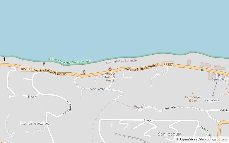
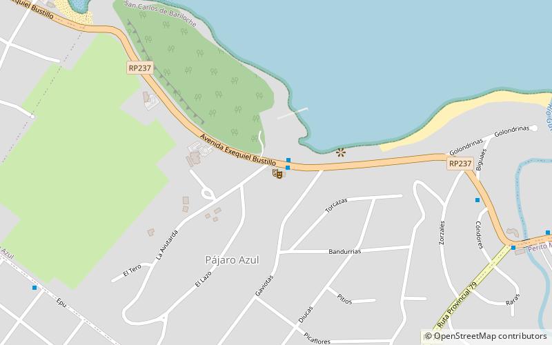
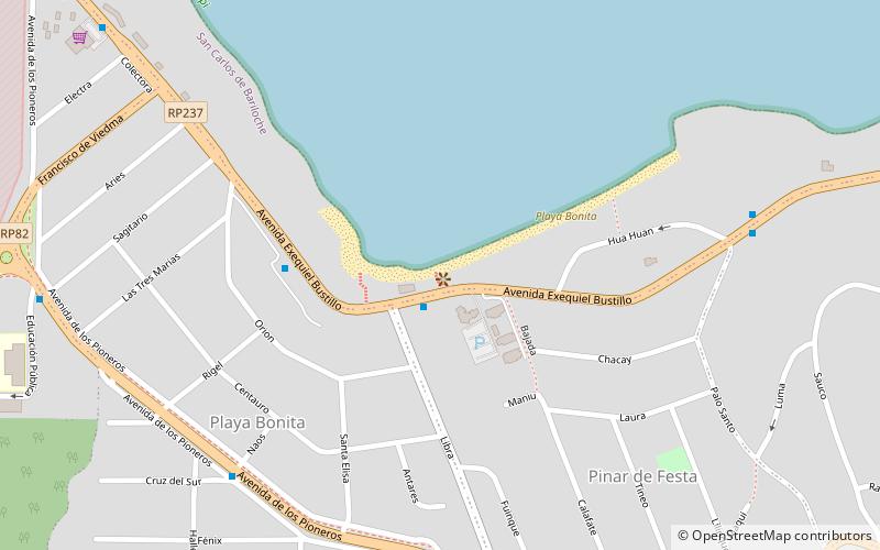
Playa Bonita (address: Av. Bustillo km 8) is a place located in San Carlos de Bariloche (Río Negro province) and belongs to the category of beach.
It is situated at an altitude of 2562 feet, and its geographical coordinates are 41°7'17"S latitude and 71°23'50"W longitude.
Among other places and attractions worth visiting in the area are: Biblioteca Popular Aime Paine-Conabip (library, 14 min walk), Huemul Island (island, 27 min walk), Huemul Project Site (ruins, 28 min walk).
Coordinates: 41°7'17"S, 71°23'50"W
Address
Av. Bustillo km 8San Carlos de Bariloche 8400
ContactAdd
Social media
Add
Day trips