San Jorge Gulf
Map

Map

Facts and practical information
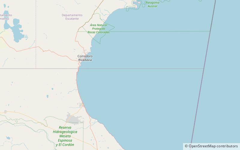
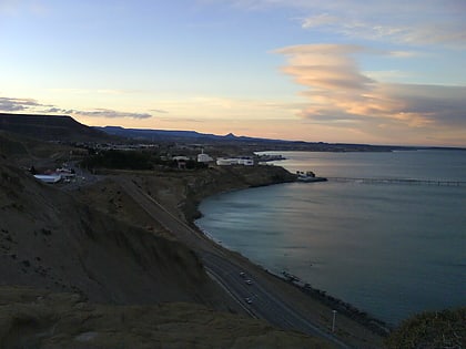
The San Jorge Gulf is a bay in southern Patagonia, Argentina. It is an ocean basin opening to the Atlantic. Its shoreline spans Chubut and Santa Cruz province. The gulf measures approximately 142 miles at its mouth and covers approximately 39 square kilometres. It is located between Cape Dos Bahías and Cape Tres Puntas. ()
Local name: Golfo San Jorge Length: 91.96 miWidth: 151.61 miAverage depth: 279 ftElevation: 0 ft a.s.l.Coordinates: 46°4'52"S, 66°50'11"W
Location
Chubut
ContactAdd
Social media
Add
